Bus on Route 70 Heads North from Milwaukie

Trimet is Taking Your Input & Preparing for Bus Route Changes… Have You Weighed In?

Bus on Route 70 Heads North from Milwaukie

Bus on Route 70 Heads North from Milwaukie

Here’s some of the suggestions that are in the lead to actually be implemented. People have pushed for more weekend service on the 19 route, they want the 31 and 33 to create one new line that will increase service and frequency on Harrison Street and King Road, which would then serve to connect Clackamas Town Center. You too can weigh in easily by going to the http://trimet.org/alerts/pmlrbuschanges/index.htm page and just click any of the “Weigh In” bubbles to the right of each route description and an email with a pre-populated subject line will appear. Add your comment (and likely your name, address and where you do or plan to live in that area and how it would affect or effect your daily travel).

Continue reading →

Looking northwest to downtown Portland (click for full size image)

5 Reasons the Portland Milwaukie Light Rail Project already Rocks!

Crossing the Hawthorne on the #4 looking south toward the Marquam, Tilikum, and Ross Island Bridges.

Crossing the Hawthorne on the #4 looking south toward the Marquam, Tilikum, and Ross Island Bridges. (click the image for full size image, or the respective bridge names for their Wikipedia entry)

I left about 11:30am today to get some lunch and take care of some coding, video taking, and some exploration. I’d been meaning to get into Milwaukie to check out how the work has been going on the Portland Milwaukie Light Rail (PMLR) line. I also wanted to snap some photos and video of the area. It turned out, I was in luck. I was able to get a lot of this done along with getting a few shots and commentary put together for numerous different parts of the Portland Milwaukie Light Rail line.

So here are a few of my discoveries…

Continue reading →

Portland’s PMLR Project, Where I’m Moving (One of These Days)…

First point of context. The PMLR stands for the Portland-Milawukie Light Rail Project. The name is somewhat misleading, because it is dramatically more than merely a simple little light rail project. I’ll add more context to what exactly it is over the blog entries following this one. For now, I want to detail a particular chunk of the area where the PMLR is being built that I’ve decided I’d like to live one day.

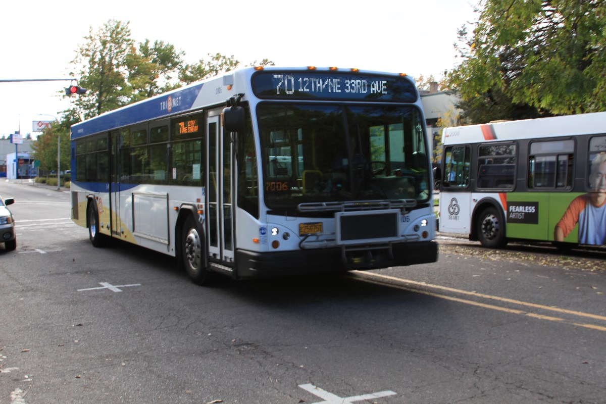
As I’ve been traveling back and forth between southeast and downtown Portland I’ve made many trips through the inner southeast industrial area near OMSI. The Tilikum Bridge is going in just south of OMSI and a number of streetcar, light rail, road, bicycle and pedestrian amenities are being added to the area. It’s rather exciting for a future prospective resident of the area surrounding the line.

The Tilikum Bridge looking west almost a year ago.

The Tilikum Bridge looking west almost a year ago.

Currently I’m still pretty much a downtown urbanite Portlander and also have spent a few years living on the inner east side near Clinton (closer to Division for a year and closer to Powell for another year). But with the addition of the PMLR I intend to buy a house and move somewhere near the first 2-3 stops of the line on the east side of the river. At least ideally. Basically, somewhere in this area:

A simple map of the area around the PMLR where I'm intending to buy a home.

A simple map of the area around the PMLR where I’m intending to buy a home.

Here’s a map from Google Maps that shows more detail specifically where I’m looking and where some sweet spots will be in relation to the PMLR. There’s a bunch of others, but these are my picks so far.

The prospective areas I'd like to move to, rated by priority choice (at least at this time, maybe that'll change)

The prospective areas I’d like to move to, rated by priority choice (at least at this time, maybe that’ll change)

The areas that have ? marks in them have planned development, mostly towers or higher density housing stock. This could be cool, but also could be super lame, I’ve no idea nor is anything certain in that area. I’d also like to not look directly at an interstate or major highway of any sort. The further from a primary arterial and the closer I can be to people and places that depend on bicycles, transit or walking the better.

Over the next few weeks I’m going to add a lot more information about the PMLR and why it’s acting as a major impetus to actually move to the area and buy (of course, depending on a number of other things that take place in the next few years in this nation and based on the actions that this date kicked off).

Anyway, enjoy, the countdown has begun. Trimet even posted a massive countdown clock!

PMLR Countdown Site (Officially 358 days from opening!)

PMLR Countdown Site (Officially 358 days from opening!)

Portland Milwaukie Light Rail Bus Planning

In the coming months Trimet is going to be putting together a bus plan for the redundant service along the new corridor. The simple reasoning is that buses cost more to operate over time than light rail, a lot more, and the ideal situation is to get as many people to take the light rail and operate feeder service to get people to the light rail. This is a tricky process, here’s a few of the reasons why:

  • Some bus lines would be more logical, like the #33, the stop in Milwaukie or the last stop of the PMLR line and transfer all passengers to a waiting MAX train. The MAX won’t have traffic to battle, will have an easier and faster ingress trip and egress trip out of the city. Timing the connection with the #33 will be really easy, as the service can now operate as an extension of the light rail service instead of fighting with traffic on McLoughlin (the bulk of its trip between Portland and Milwaukie). So a large part of the #33 route could be canceled, saving millions per decade and putting that money into other bus operations and capital such as the #33 between Oregon City and Milwaukie.
  • Other bus lines get tricky, the #19 for instance will cross over (with its current route) the new MAX at one of the stations. But the route on either side of that serves people that may or may not be going downtown. Beyond that, making connections with the MAX is more difficult because of its less than frequent service and which direction would connect with which MAX? The #19 wouldn’t just be merely an extension, but instead would act largely like a feeder. An example would be, if someone got on in the suburbs, instead of riding the whole route it would be faster to deboard and alight the coming MAX train, that would arrive in town faster and more reliably than the #19 bus would. This route then becomes a question of, “what to do?” Increase service? Leave it untouched? Decrease service between X & Y points, increase service immediately between MAX connection points to enable better connector service?
  • #31 and #32 both come from various parts of the metro area and converge on McLoughlin, again making for a perfect direct connection with the MAX. However both buses are arguably faster during low traffic times and slower during higher traffic times. Both bus routes are generally low ridership, so connecting the transfers to the MAX might behoove costs, but maybe not ridership. It however could have the opposite affect on ridership and increase. Would having the end points connected between Clackamas Town Center (where one of the buses goes) vs. where the other goes be improved if we bumped up service levels and connected it reliably to the MAX line going in? What would be the loss vs. the gain of doing so? Whatever the case, it isn’t smart continuing to run these two routes as is when the MAX line offers a lower cost option than running the bus just for the few riders that do take it along the McLoughlin Corridor – in this case, one would logically try the increased connector service but eliminate the service along McLoughlin into downtown. This would create a two-seat (ie. a transfer is required) ride to downtown but it would make for a dramatically more cost efficient ride if the ridership stays relatively the same on these routes or slightly increases. If it increases dramatically it would still be best to transfer riders to the MAX instead, as more service could be provided overall.

Have you thought much about how the service will change, what might change, or thought about getting involved? If any of these buses are ones you ride you should check out the upcoming bus service planning around the opening of the PMLR line. You can’t wait and expect to make a difference, you have to get involved now! Here’s a list of the lines that will be affected with the opening of the PMLR in 2015 (and possibly sooner even).

  • 9-Powell Blvd
  • 17-Holgate/Broadway
  • 19-Woodstock/Glisan
  • 28-Linwood
  • 29-Lake/Webster Rd
  • 30-Estacada
  • 31-King Rd
  • 32-Oatfield
  • 33-McLoughlin
  • 34-River Rd
  • 35-Macadam/Greeley
  • 36-South Shore
  • 43-Taylors Ferry Rd
  • 66-Marquam Hill/Hollywood
  • 70-12th/NE 33rd Ave
  • 75-Cesar Chavez/Lombard
  • 99-McLoughlin Express
  • 152-Milwaukie