
Back in April I took a trip to Pittsburgh, Pennsylvania. It is easily one of the best trips I’ve taken in a few years! Far too many years! Obviously I had to write up the adventure and that dear readers is what you have here, the log of my entire trip to Pittsburgh. I hope you enjoy following along with the adventure!
Along with the trip, which I’ll write details about here on this post and subsequent posts here on Transit Sleuth, another branch of posts will be on Vicious Shred concerning the record shops (Attic Records, etc) and music related peculiarities. So if you’re into the metal, and other varietals of music I partake upon, navigate over to Vicious Shred for a whole host of posts about that.
Day 1 – Departing Seattle via the Empire Builder
Day 1 involved departing Seattle. What did that involve? Well let me tell you!
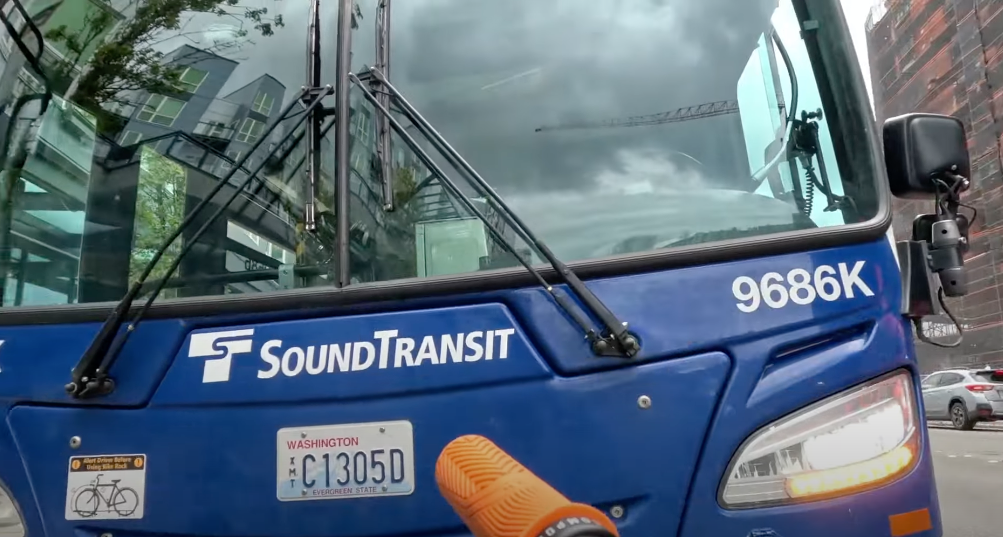
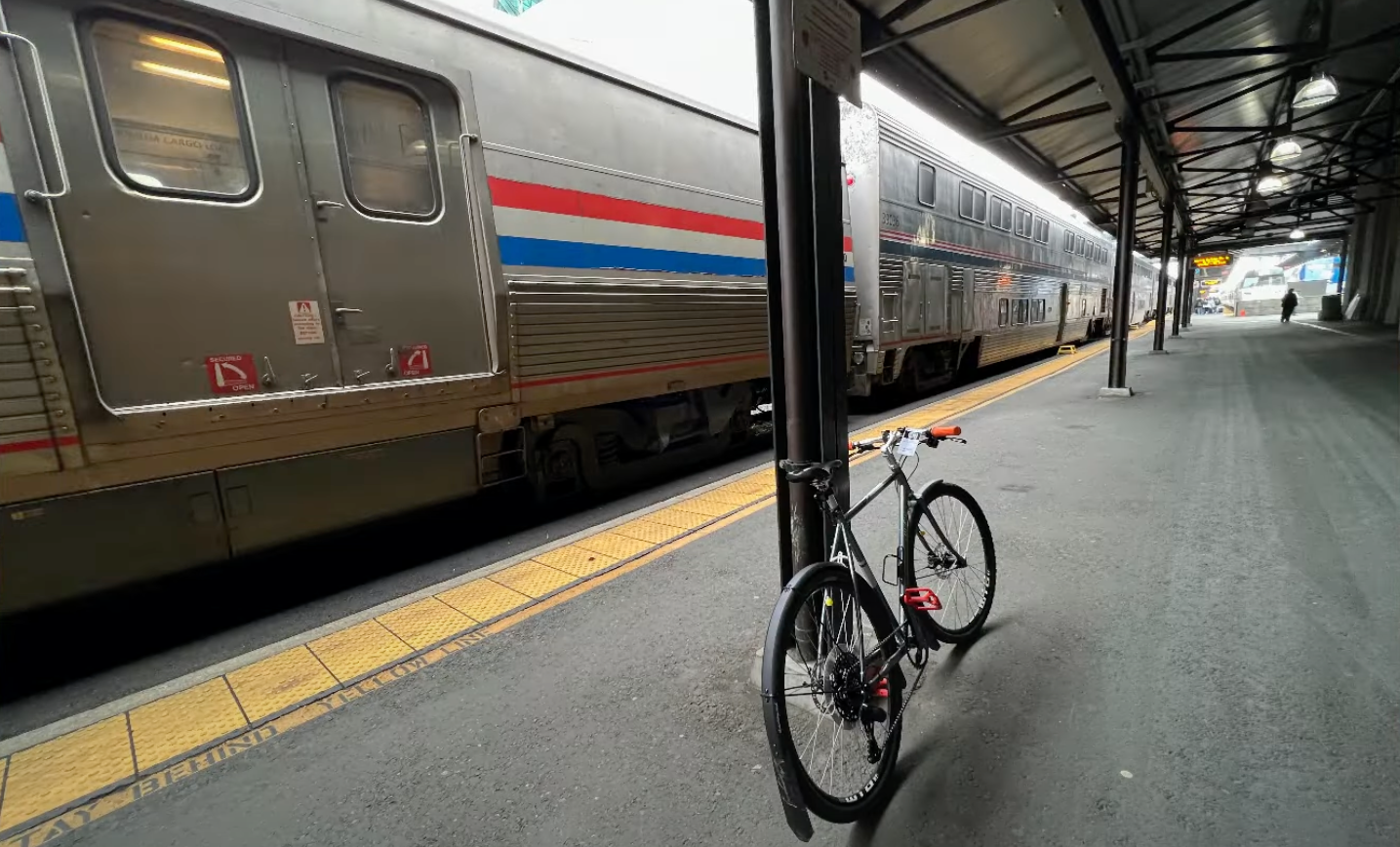
The very first event involved me biking down from home to downtown Redmond. There I caught the Sound Transit 545 out of Redmond heading to downtown Seattle & King Street Station. The bus arrived timely, I got the bike mounted up and off I went.
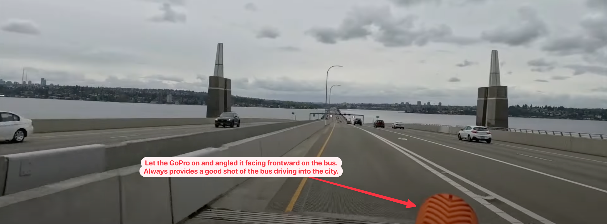
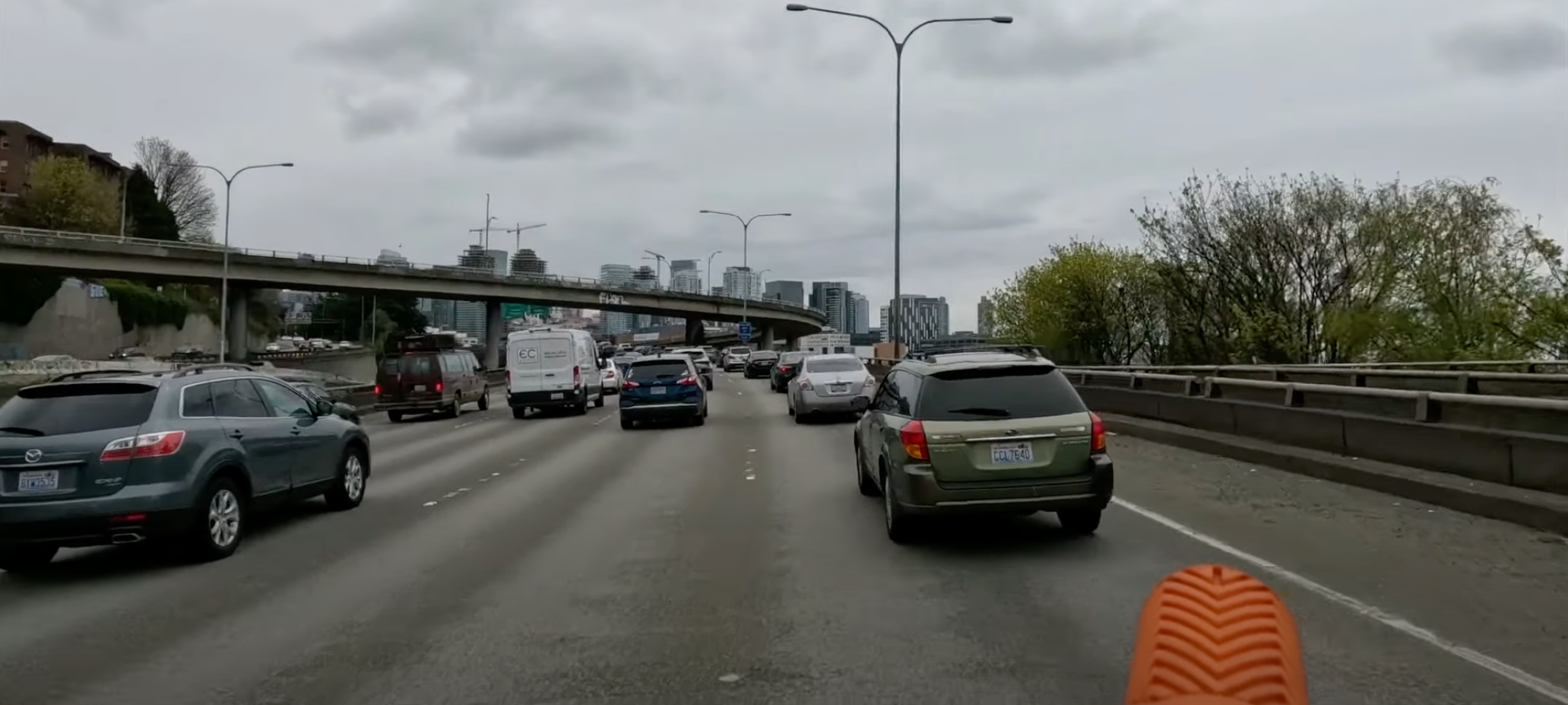
Shocker of shocker, as we got into the city there was a back up on 520 coming onto I-5, which is part of traveling on I-5. It’s always been backed up here and likely will always be. If someone is stupid enough to think they’ll resolve this poorly designed mess they don’t understand how cars work – and in that sense I am seriously looking forward to the day I can just on the tram (light rail) Link into the city!
Once I arrived downtown, I didn’t even attempt to ride the 545 all the way across the downtown core. There are two reasons I did got off the bus to travel this last few miles:
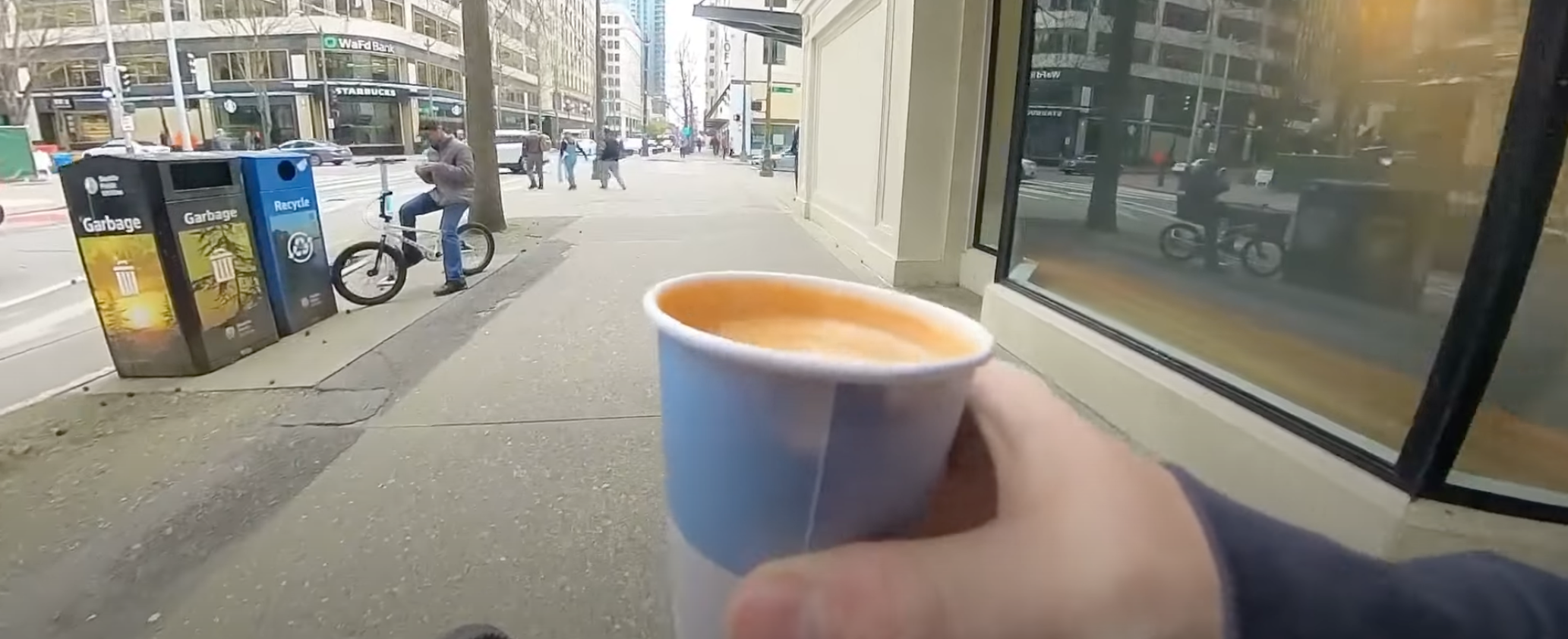
- The main reason is I like to, as I’ve made it a tradition, to always stop at Monorail Coffee and get a cap before departure. For many – if not most – destinations in the United States it is likely the last time I’ll get a decent cap until returning. The espresso standards in the USA have improved to a degree so it isn’t as frequent I go without as it used to be, but I still don’t trust most cities.
- The other reason is I actually like to ride through the city – I love cities, love em’! Some folks don’t get that from me but I see so much more than the mere concrete and fumbling crushed souls of the city and more the wealth generating heartbeat of America that US cities actually are. Albeit they’re severely damaged and have a severe quality of life issue compared to European cities. Largely evident in the vast warped subsidized American socialism experiment gone awry called “the suburbs”. But hey, they’re holding together the country in spite of all that!
Anarchist Jurisdiction
As the “Dear Leader” designated our poor fair destroyed obliterated city of Seattle, it is indeed destroyed y’all! Nobody come to Seattle, look at all that smoke and fire and burning, nobody is left! It’s all zombies and those lost in the riots. /s

Comedy aside, the ride through Seattle was rather pleasant. The roll – emphasis on roll because it takes almost no energy to pedal downhill from Monorail Coffee down to the train station – to King Street Station was smooth and effortless.
King Street Station
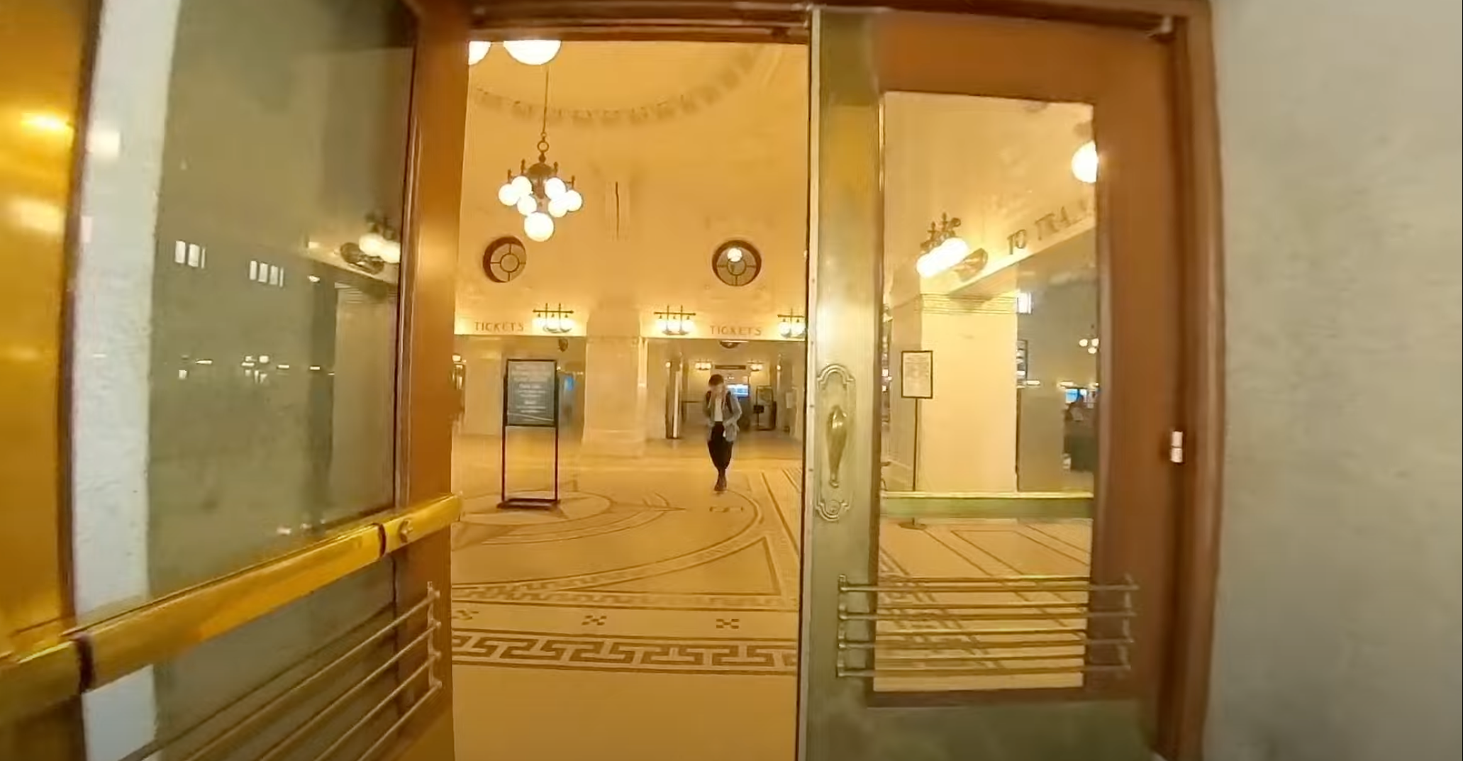
I arrived, got my bike tagged for the trip and headed off to the baggage car to hand off my bike. The only two things I brought with me was my Mission Workshop ARKIV Backpack and the bike (bounce back to this post for details on why she’s named “PDX Orange”).
Tragedy Struck!
Chubby DOWN!!! You’ll have to watch the video for that bit of tragedy (time point @ the tragedy), it was already too much to write about the remnants of the destroyed city of Seattle! So with that bit of narration lagniappe, enjoy the video.
Day 2 – Eating on the Empire Builder
Day 2 can be summarized as eating day. There isn’t a lot to see or do on day 2, so it’s 3 meals and complete uninterrupted relaxation. In all seriousness it is one of my favorite days of the trip – even with the somewhat boring scenery – because I just do nothing. Maybe read, but mostly just thinking and introspecting against a repeating scenery. With that, I detail some of day 2 via VLOG for you dear reader!
Day 3 – Empire Builder Transfer to Capitol Limited in Chicago
When I got into day 3, Chicago was the central action of the day. I needed to arrive on time or close to on time in order to make my connection to the Capitol Limited. The Capitol Limited route runs from Chicago to Washington DC. It makes a bunch of stops but my stop would be around 5:23am in the morning in Pittsburgh. If I had my preference, I’d have take another train that would have had me arriving in Pittsburgh at a more reasonable hour, but this being America we have a severe lack of transportation options between major cities!
The great thing about – in my humble opinion – coming into Chicago is getting into the urban fabric and watching the urban core and its skyscrapers start to rise out of nothing. If you’re privy, you get to see a lot of history as you roll into the city too. If you find that kind of thing fascinating Chicago is a city worth looking into.
In this episode I wrap up things by showing the path and process – for my brave fellow cyclists out there – of getting your bike stowed in Union Station. If you’re in the sleeper or 1st class like I was, you get to hang out in the awesome lounge at Chicago but you need to stow your bike in the meantime.
In the 2nd part of day 3, transferring in Chicago I provide a tour of the 1st Class Lounge and then wander aimlessly around Chicago for a short while. Then I show boarding, which is a bit of an adventure in fumbling since I have a bike. Even though this is actually an easy process, you need to stay on top of things in order to make sure the bike does end up where you end up. Follow along in the VLOG to see more of the chaotic fun as I wrap up the Chicago transfer to the Capitol Limited!
That’s it for the Empire Builder part of the trip, in my next post I’ll delve into arrival day in Pittsburgh and the ongoing adventures!


