I have a rather interesting commute these days. It consists of four parts for the time being.
- Departure from home and arrival at the Redmond Link Station via e-bike.
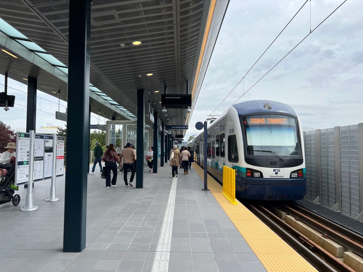
- Departure with Spacey (this bike) from the Redmond Link Station to South Bellevue Station.
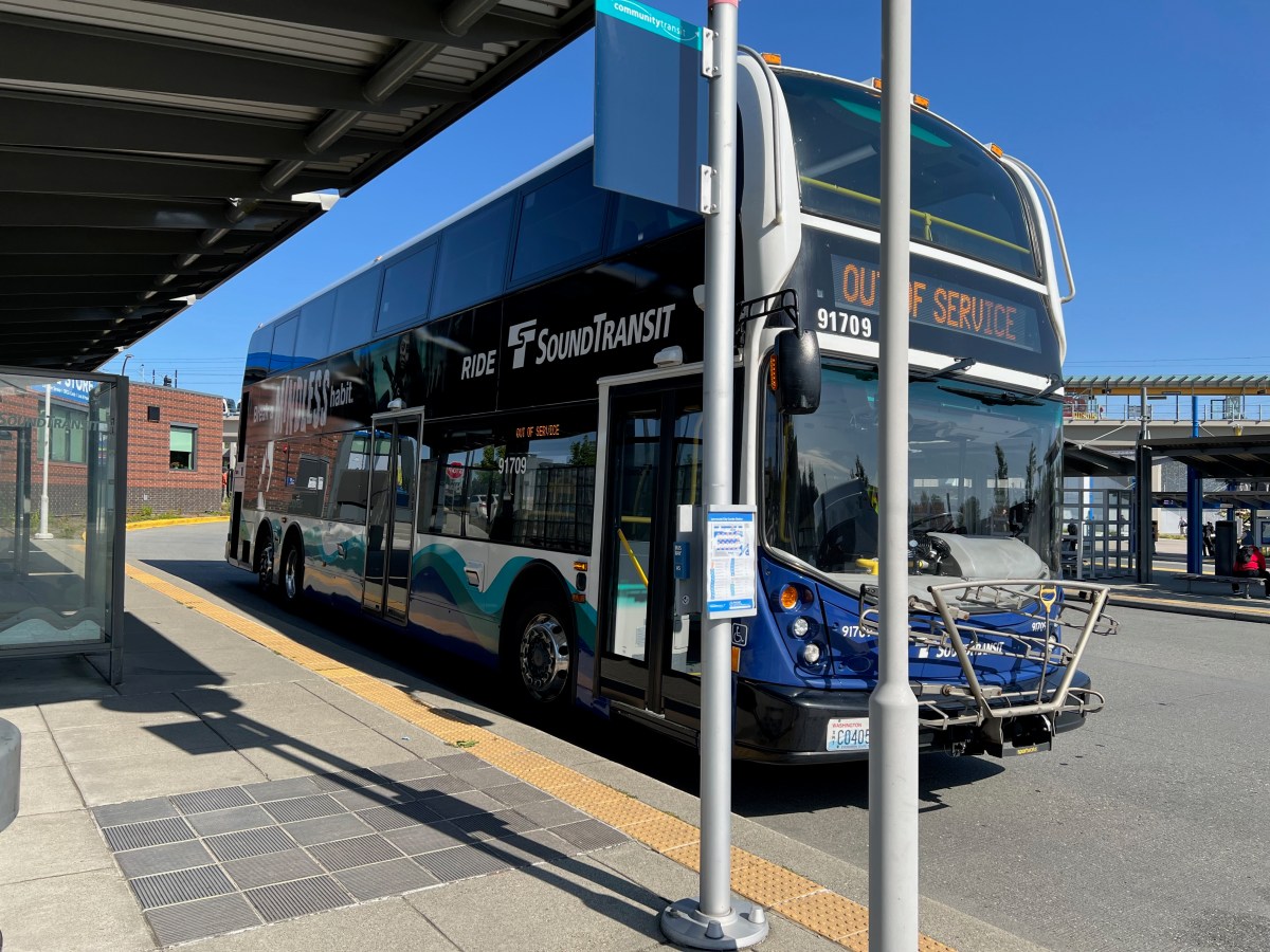
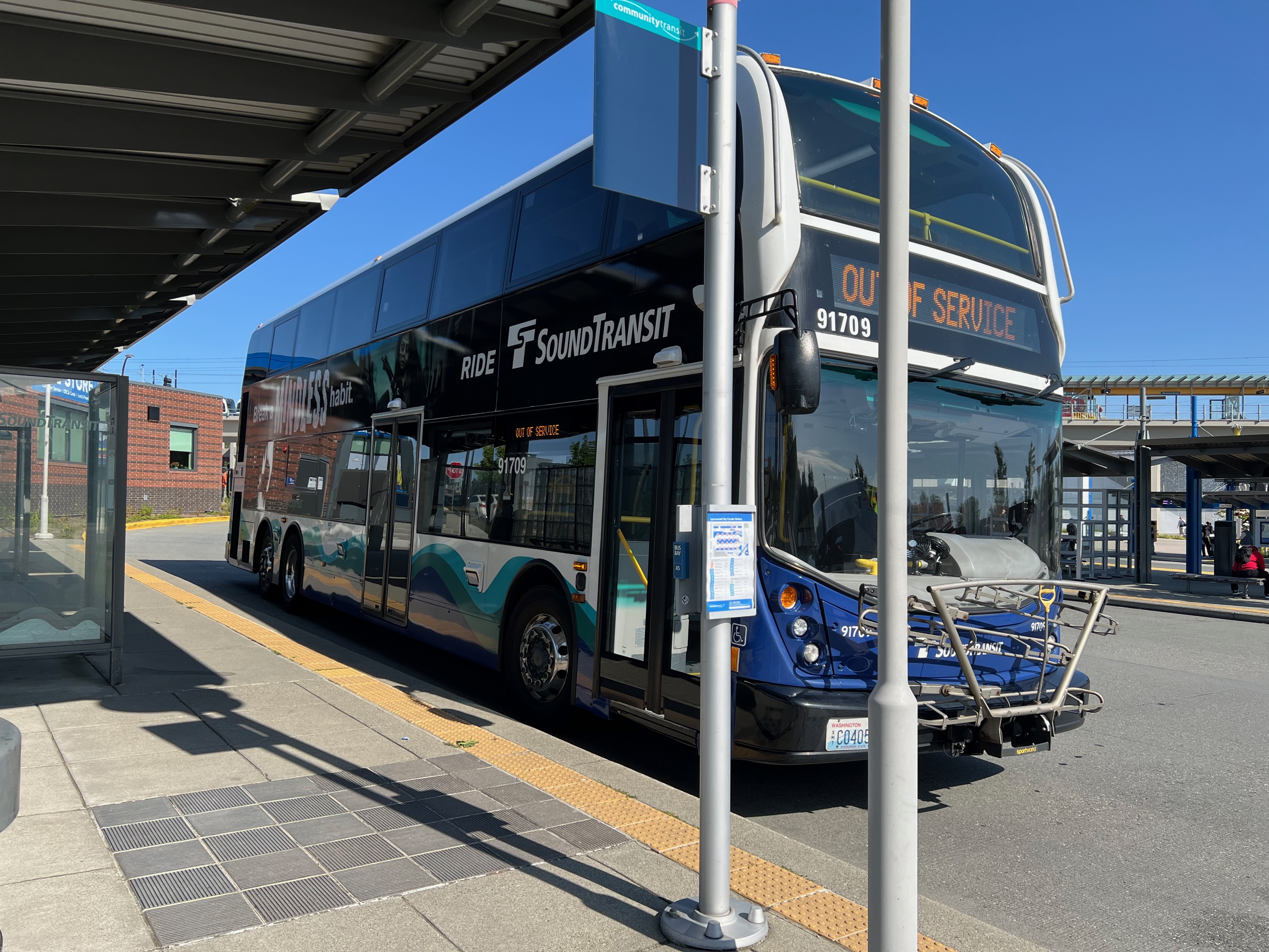
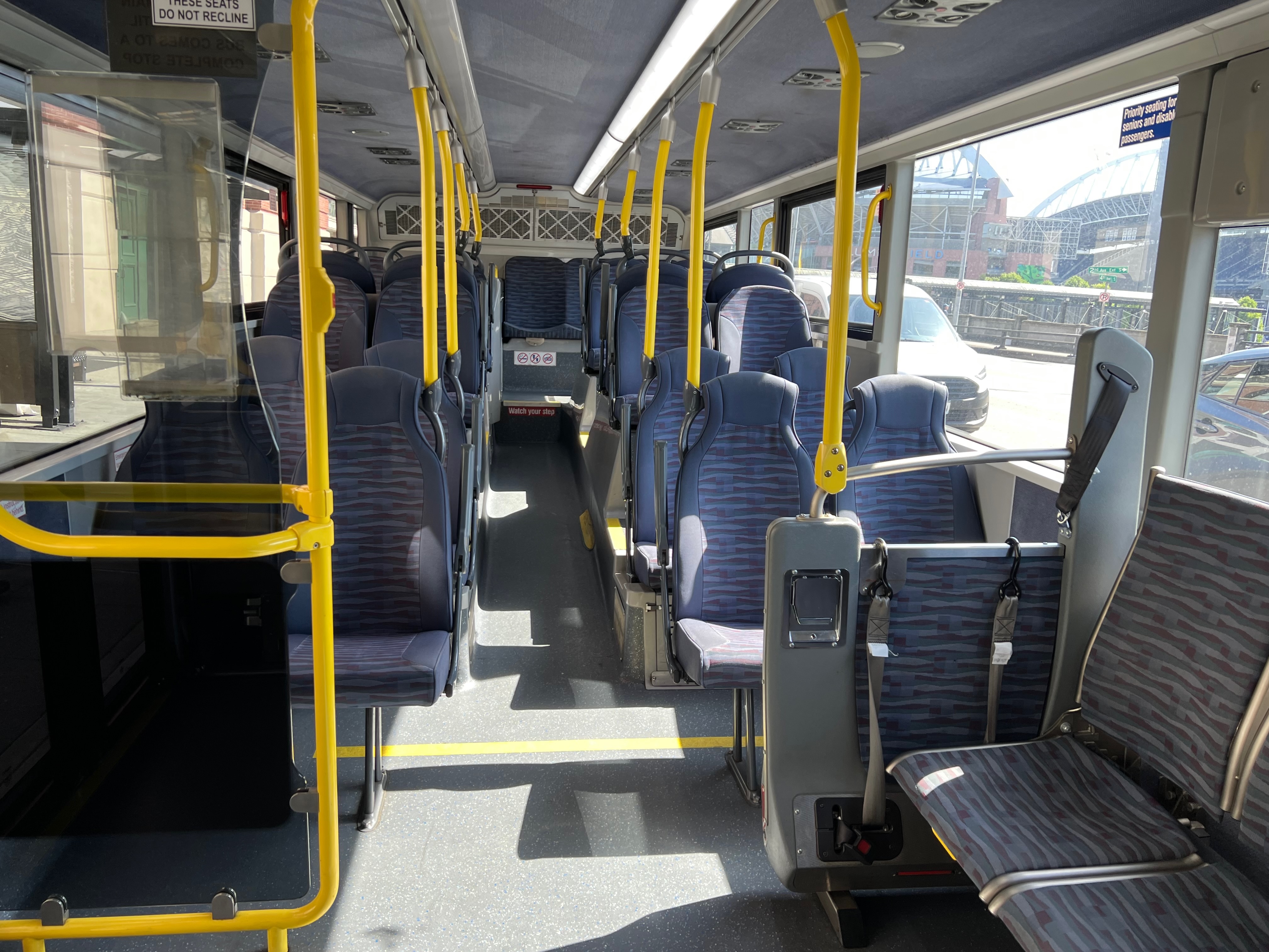
- Departure from South Bellevue Station via the Sound Transit Express 550 bus.
- Then via bicycle to the little coffee shop (i.e. Starbucks HQ) in Seattle’s SODO.
Today I departed from home and traversed all of the parts of my commute until arrival at South Bellevue Station. I then realized I had forgotten my keys at home. The keys I use to lock my bike via u-lock at the coffee shop. No keys no lock, so that wouldn’t do.
So a good 1/2rds of the way into the city I made the u-turn to head back to get my u-lock keys. Back to the Redmond Link Station, I parked Spacey, and then took the e-bike back up the hill to home. I got my keys and headed back out again.
An Aside: Naming Chaos Among Key Chaos
Alright, let’s detail this topic for a moment. What the hell is wrong with Seattle and naming things. Before Redmond Technology Station became “Redmond Technology Center”, it was called Overlake Transit Center. They renamed it and the next station, which is still just touching Microsoft Campus, is called Overlake Village Station. No confusion to be had for anybody that has been in the area for more than a few years, no none at all.
Amidst that ridiculousness Marymoor Park Station is only tangentially connected to Marymoor Park. To get anywhere where people congregate in the park you’ve got to walk between 3-20 minutes to get there. Then there is the Symphony Station, once the University Station but not connected to the University District and confusing to folks about what University, if any, it connected to. Because the nearest was many blocks away. But I digress.
I could go on and on about this and the locations, because it is clear there were powers that worked diligently against the light rail to make it less than useful. However in spite of these assholes and short-sighted fools, it’s already immensely useful even with the stop locations.
Back to Key Chaos
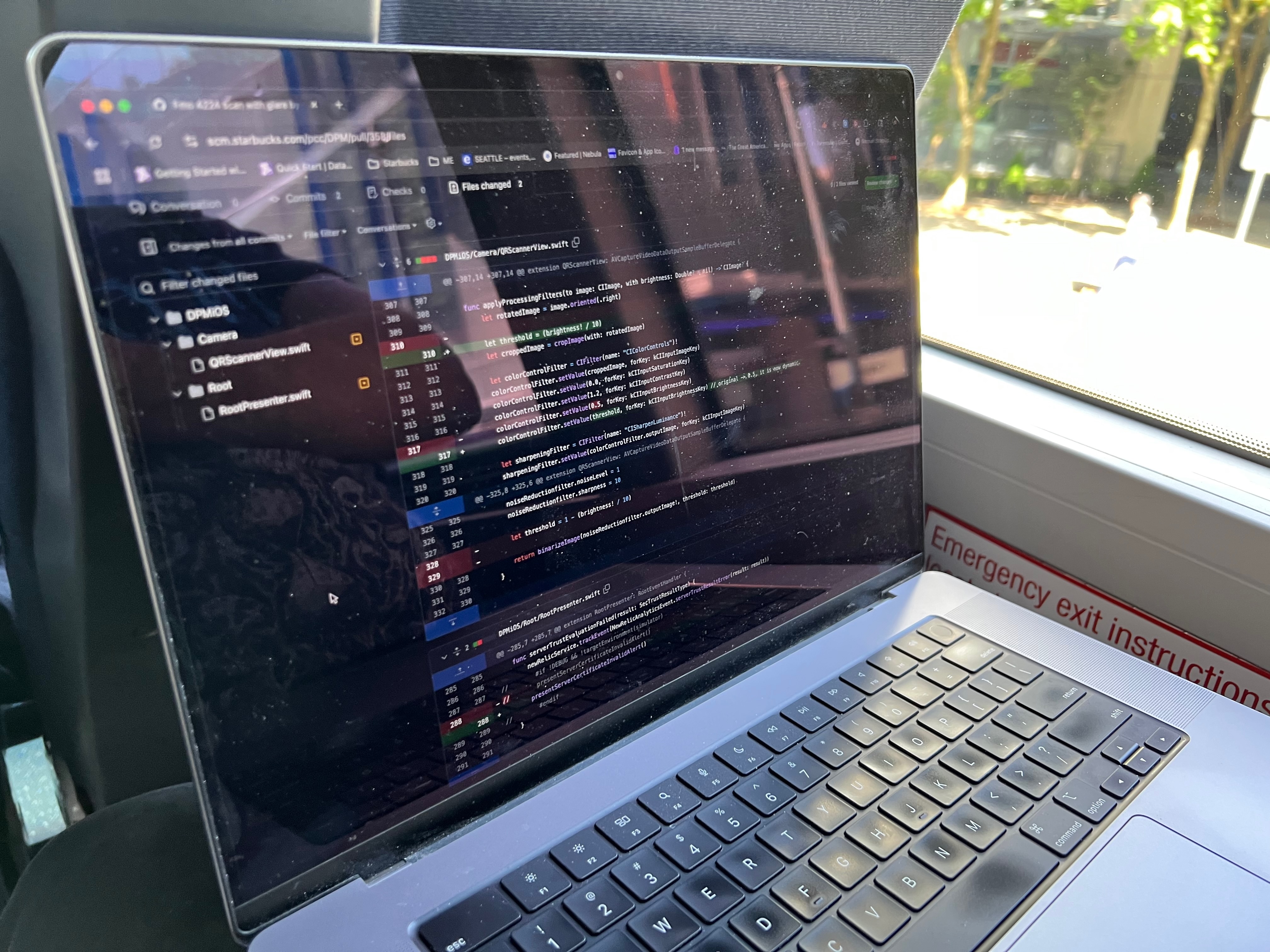
Now that I had back tracked to get my keys, I was at least an hour behind my expected arrival at the office. In addition, a meeting was coming up that I wouldn’t make unless I only traversed part of my trip and stopped to have the meeting. I had done this before, where I would go part of the way, then stop at a coffee shop or somewhere that wifi exists to attend a meeting. Then I would continue onward.
Today I decided to stop at the Dote Coffee Shop at Redmond Technology Station. It seemed like a perfect, down to the minute, timing to get part of the way into the commute and also attend the meeting.
A Note on Dote @ Redmond Technology Station
The Dote located at the Redmond Technology Station (here) is a pretty cool location. It is however kind of a stand alone very transit station specific location. All of the other amenities that Softies (That’s what Microsoft employees are called, I kid you not) enjoy such as their walkable urban area is up the street a few blocks and not entirely evident – or that accessible without a little mischievousness or having a blue or orange badge. So this is the publicly accessible option in the area, and it’s pretty great.
However, even though it is a private business not particular part of Microsoft, this location is forced to use the Microsoft wifi. This has always been a bit of an odd logistical lift for Microsoft. The reason being is that Microsoft treats all of the businesses and amenities in the area – even when they are on public property and owned by the local city and public – as if it is their own owned amenities. It’s a weird relationship to say the least.
Amidst all that, I managed to arrive at the station in time to get into the shop in time for the meeting and a drink.
The Last Leg, Broken
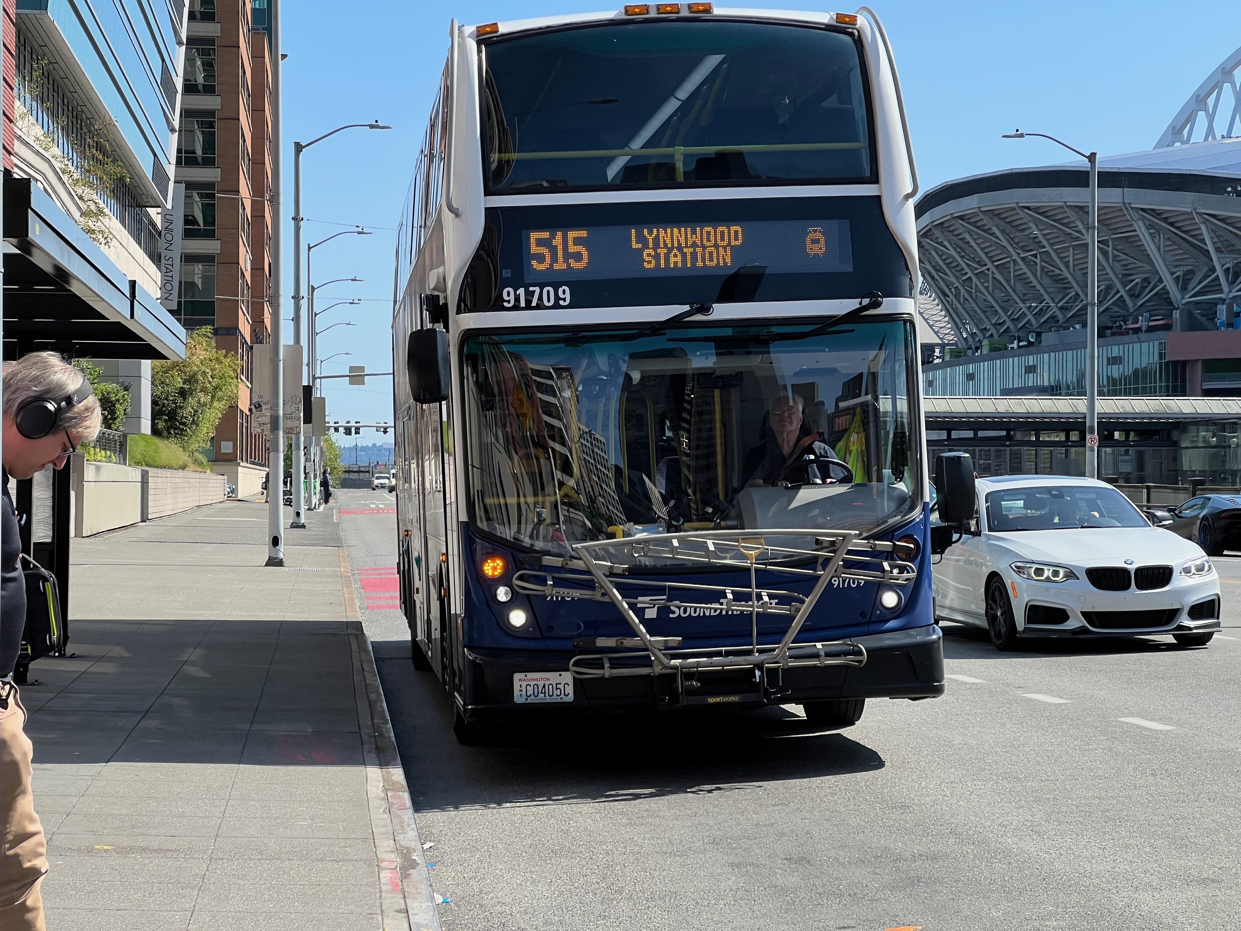
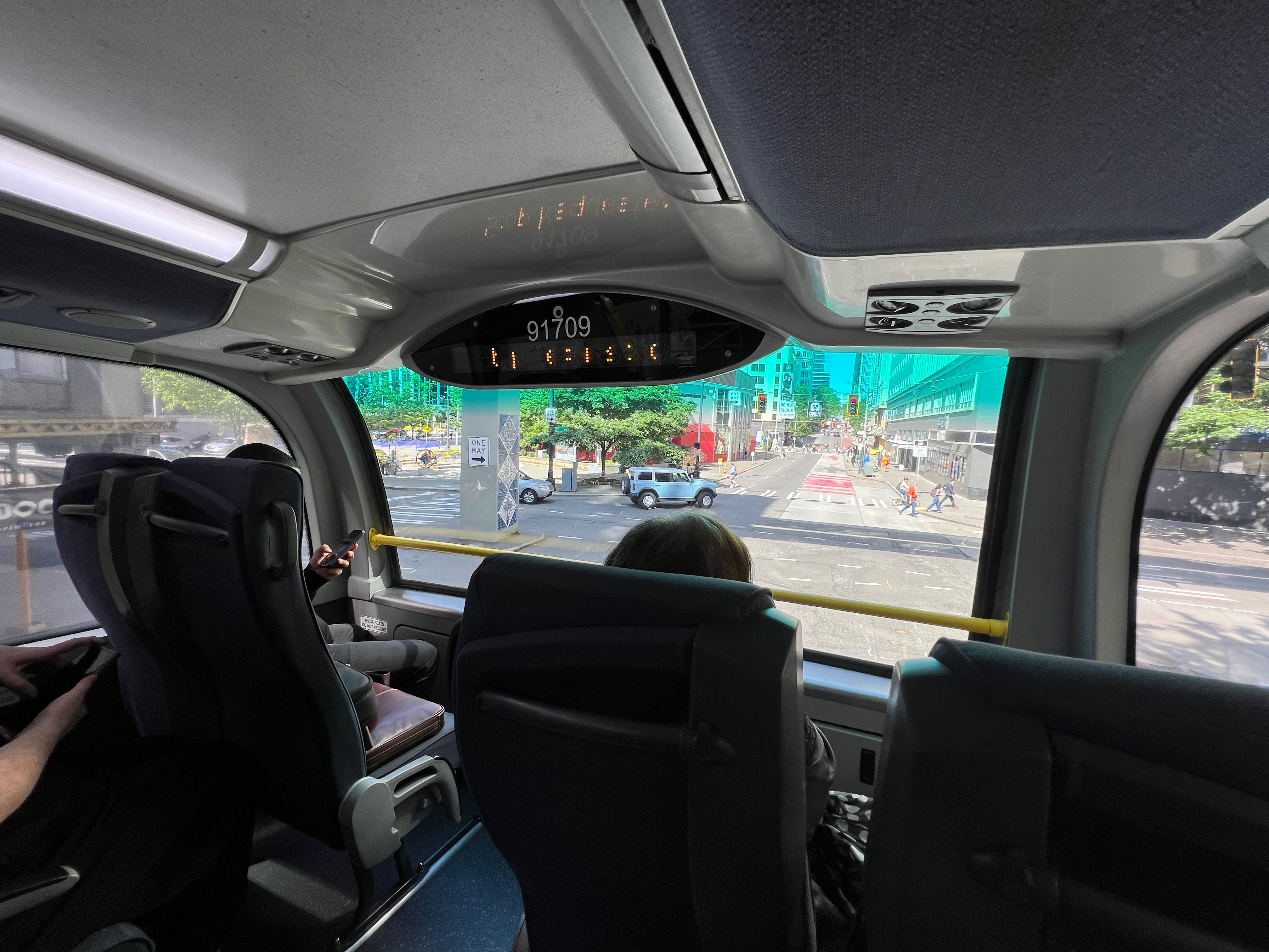
Finally, my meetings wrapped up and I began the last leg to get into the office. I walked out of the store, unlocked my bike and progressed toward the Link tracks to board a south bound train. I arrived, saw a train sitting there and noticed it wasn’t moving. After a minute or so I gave up and headed over to the south bound 40th St stop to board – hopefully – the Sound Transit Express 542.
I opted for the 542 (direct to University District) instead of the 545 (the more direct shot into the city) because I could ride it for a short haul into U-District and then board the Link Light Rail through downtown to SODO. They key difference here is I could work on the Link vs. not so easy on the bumpy buses.
I locked out and as I rode my bike up over the highway pedestrian and bike bridge to the other side to board the south bound buses, I only had 4 minutes until the 542 arrived. It pulled in, I racked my bike, and off we went. Upon arriving at U-District I took the elevator down and onto the 1-Line Link Train south through the city. I was able to rack my bike and get a seat, working through the remainder of the trip.
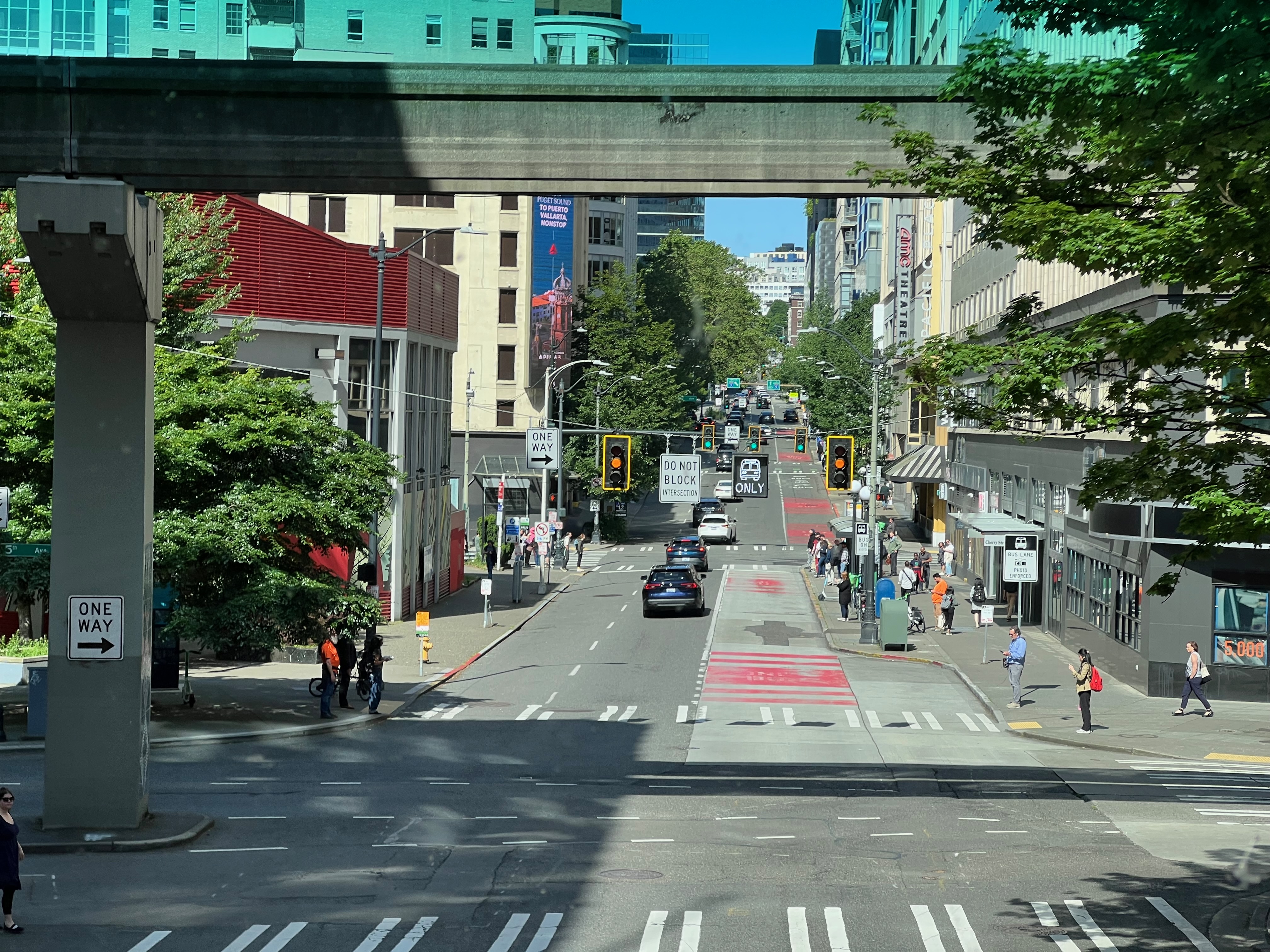
So that was my rather chaotic commute today, one for the books of misadventures in getting the logistics wrong over forgotten keys. Until next trip, cheers!