Sound Transit and the Link 1 Line: Building a Spine Instead of a Network

The Intent and Purpose of Link 1 Line

Sound Transit’s Link 1 Line is the backbone of Seattle’s light rail system—a 40-plus mile north-south corridor that connects Lynnwood in the north to Federal Way in the south (with eventual extensions planned to Everett and Tacoma). The line serves as a high-capacity transit artery, connecting major employment hubs, residential areas, and key destinations like downtown Seattle, the University of Washington, and Sea-Tac Airport.

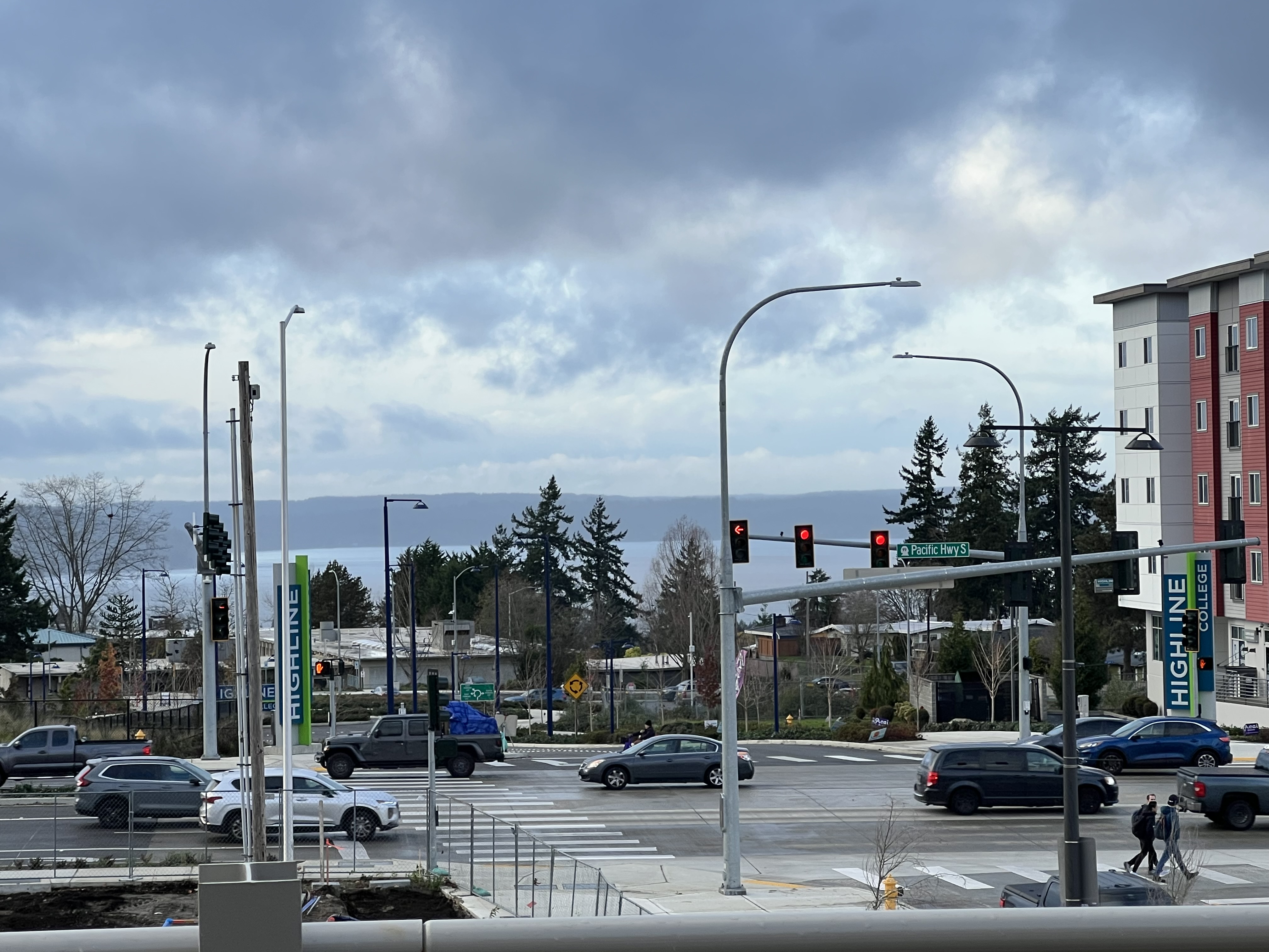
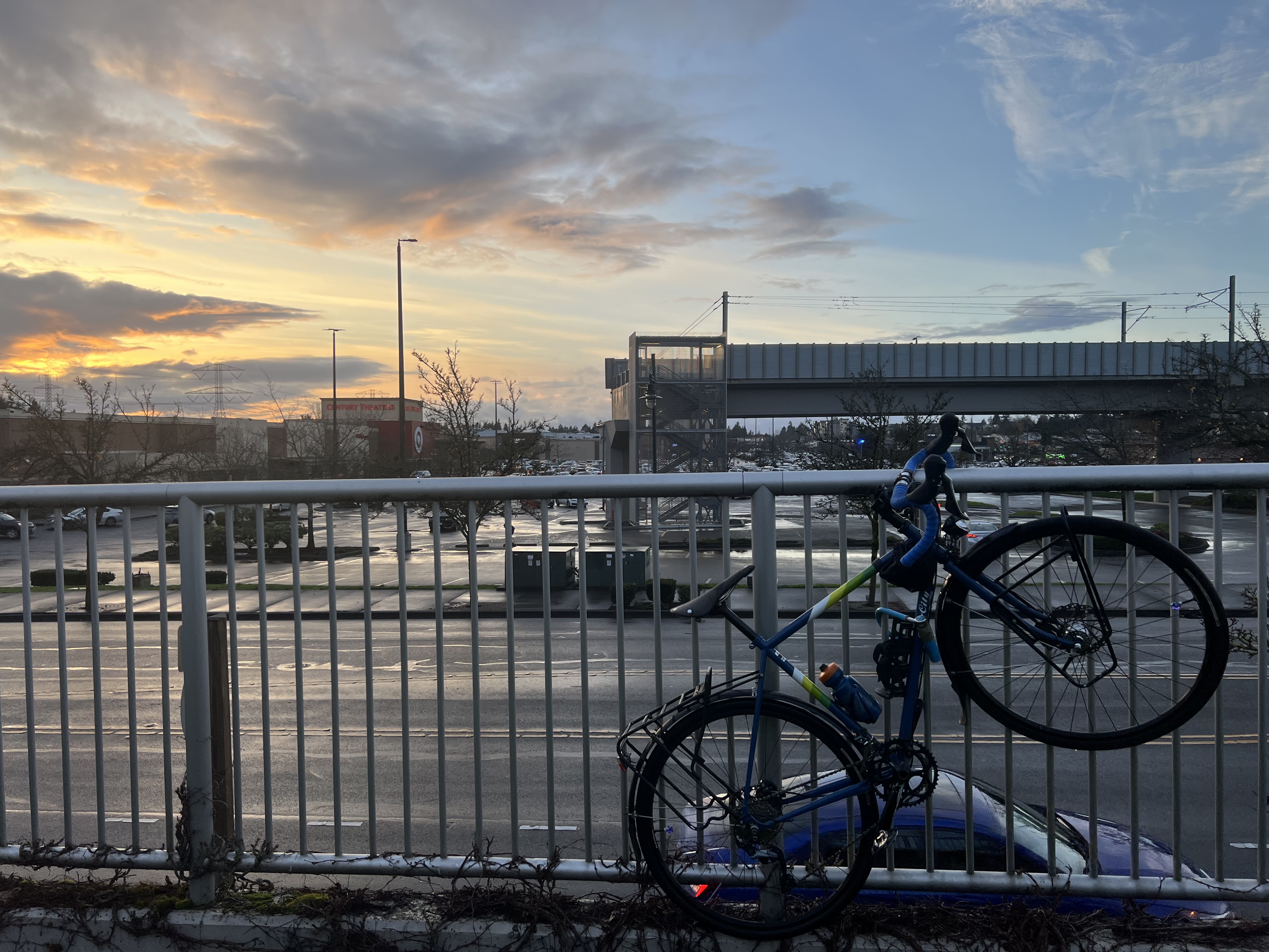
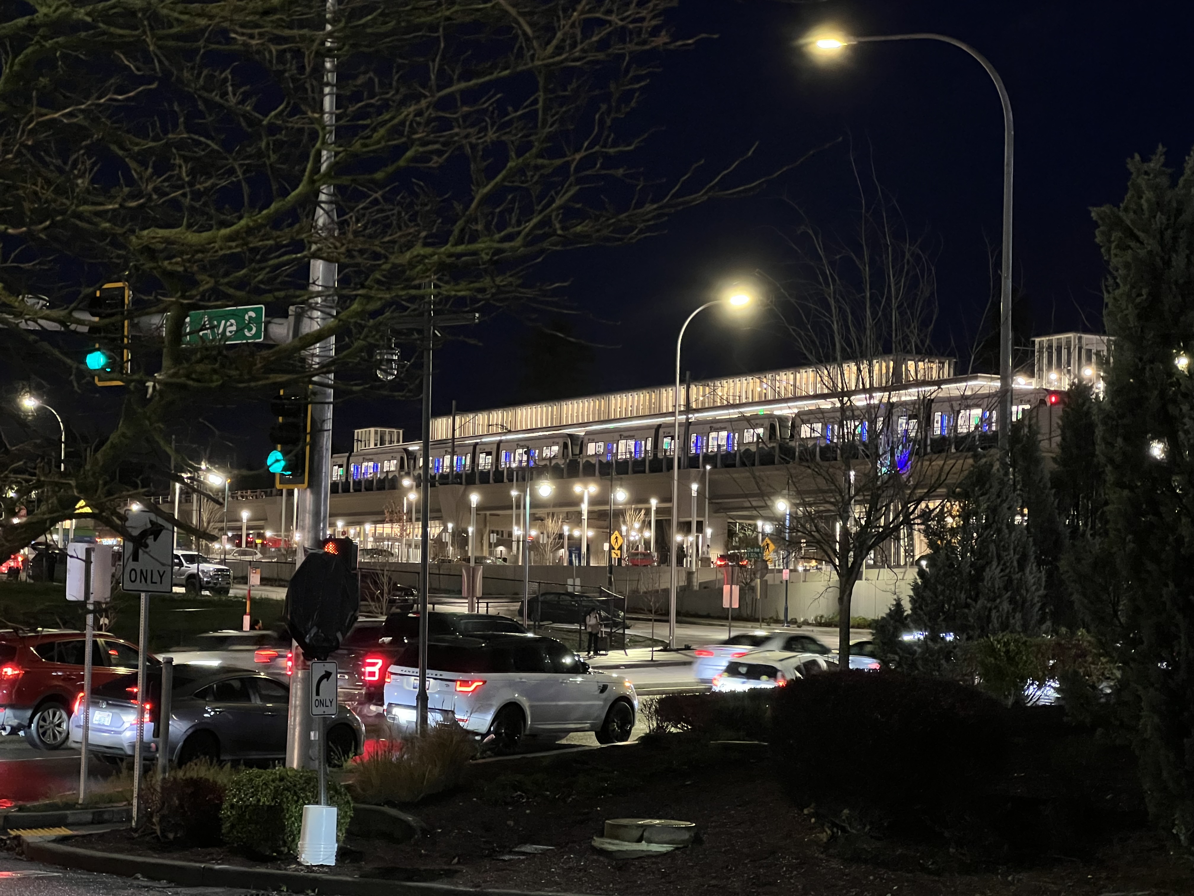
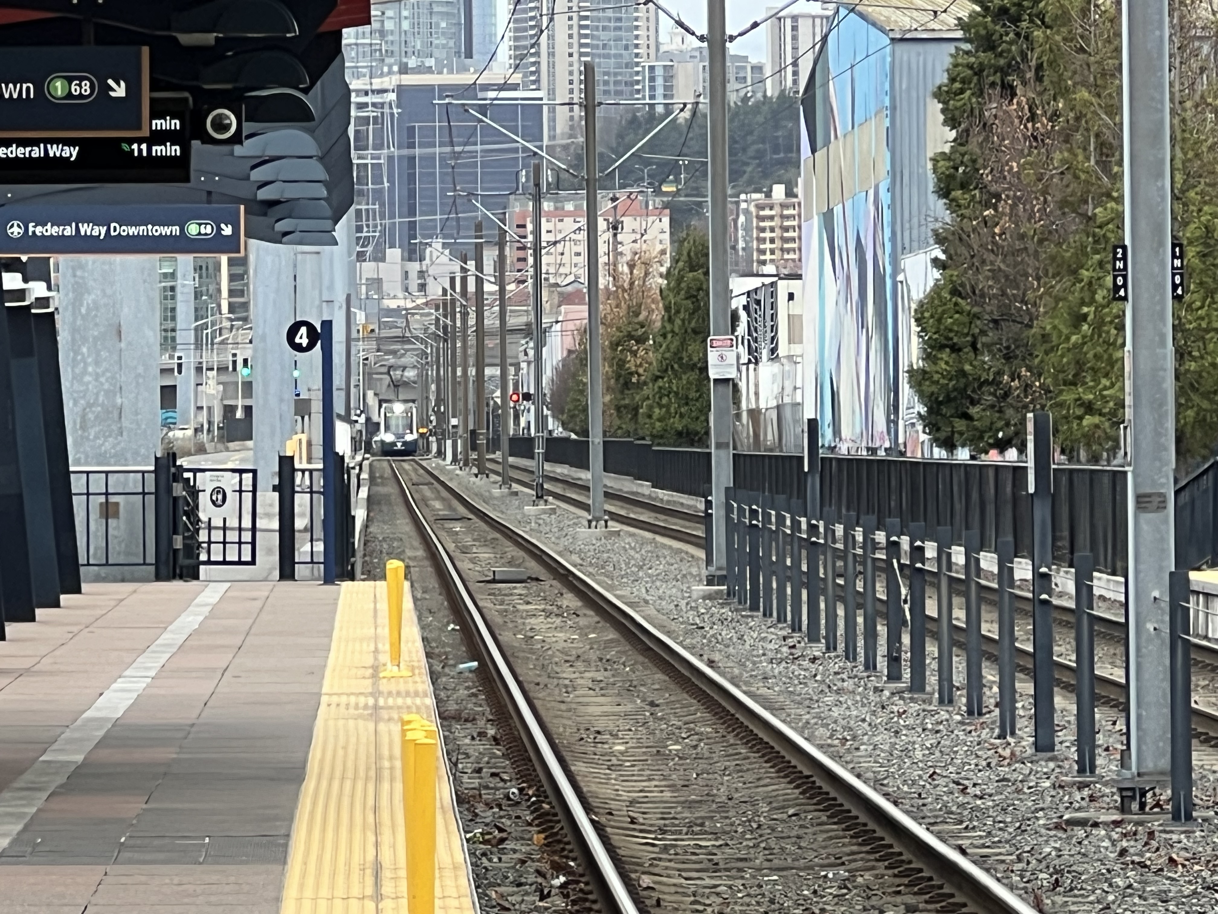
My ride to the extension opening!

The intent is straightforward: provide a reliable, high-capacity transit option that operates independently of road traffic, offering consistent travel times and encouraging people to leave their cars behind. It’s electric, it’s fast, and it’s designed to move tens of thousands of people daily along the region’s most congested corridor.

But here’s the thing: Link 1 Line isn’t just a transit line—it’s a strategic choice. It’s built as a spine, a single continuous line that runs north-south, rather than as a network of intersecting light rail lines like Portland’s MAX system. This decision, and the agency that made it, tells us a lot about how Seattle approaches regional transit.

Sound Transit: An Odd Creature of Washington State Politics

Sound Transit, officially the Central Puget Sound Regional Transit Authority, was created in 1993 by the Washington State Legislature. But here’s where it gets interesting: Sound Transit isn’t your typical transit agency. It’s a special-purpose district with taxing authority, created specifically because the region needed a way to fund and build transit infrastructure that crossed multiple county and city boundaries.

The political structure is, frankly, weird. Sound Transit’s board consists of 18 members—elected officials from King, Pierce, and Snohomish counties, plus representatives from the cities within the transit district, and the Washington State Secretary of Transportation. This means the agency is governed by politicians who have other jobs, other constituencies, and other priorities. It’s not a directly elected transit board like some cities have; it’s a collection of mayors, county executives, and council members who happen to also make transit decisions.

This structure was created because the region needed a way to coordinate transit across jurisdictional boundaries. Individual cities couldn’t build regional transit on their own. King County Metro could run buses, but building light rail that connected Everett to Tacoma required something bigger—something that could collect taxes across multiple counties and make decisions that served the region, not just individual cities.

The Tax Revenue Collection Model: Voter-Approved Everything

Sound Transit’s funding model is unique, and it’s both a strength and a weakness. The agency relies on voter-approved taxes within its service district, which includes parts of King, Pierce, and Snohomish counties. These taxes include:

  • Sales Tax: 1.4% sales tax on purchases within the district
  • Motor Vehicle Excise Tax (MVET): 0.8% tax on vehicle registrations
  • Rental Car Tax: 0.8% tax on rental cars
  • Property Tax: Up to 25 cents per $1,000 of assessed value (with annual increases capped at 1%)

This funding structure means Sound Transit has a dedicated revenue stream, but it also means every major expansion requires going back to voters. The agency can’t just decide to build something—it has to convince voters to approve the taxes to pay for it. This has led to a pattern of phased expansion: Sound Transit goes to voters with a package, gets approval, builds what it promised, then goes back years later for the next phase.

The 1996 “Sound Move” ballot measure created the agency and funded the initial light rail line. The 2008 “ST2” measure extended the system. The 2016 “ST3” measure approved the massive expansion that’s currently being built. Each time, voters had to approve new taxes, and each time, the agency had to deliver on its promises before asking for more.

This creates a conservative, incremental approach to transit expansion. Sound Transit can’t be too ambitious because it has to win elections. It can’t move too fast because it has to prove it can deliver. And it can’t easily change course because major decisions are locked into voter-approved packages.

Why a Spine Instead of a Network?

The decision to build Link 1 Line as a spine—a single north-south line—rather than a network of intersecting lines like Portland’s MAX system, was driven by several factors, some practical and some political.

Geographic Reality: Seattle’s topography is challenging. Water, hills, and valleys create natural barriers. Building a single spine along the I-5 corridor makes sense because that’s where the people are, where the jobs are, and where the existing transportation infrastructure already exists. A grid system would require crossing Lake Washington, tunneling through hills, and dealing with terrain that makes multiple intersecting lines expensive and complex.

Resource Concentration: Sound Transit’s funding model—dependent on voter approval and limited tax revenue—meant the agency had to maximize impact with limited resources. Building one high-capacity spine that serves the highest-demand corridor makes more sense than spreading resources across multiple lines. One line with high ridership is better than multiple lines with lower ridership, at least from a cost-per-rider perspective.

Phased Expansion Strategy: The spine serves as a foundation. Once you have a strong central line, you can branch off from it. Future lines can connect to the spine, creating a network over time. But you start with the backbone, the thing that connects the major destinations, and build from there.

Political Compromise: The spine connects Everett, Seattle, and Tacoma—the three major cities in the region. This wasn’t accidental. To get voters in all three areas to approve taxes, Sound Transit had to promise service to all three. A single spine that serves all three cities was the political solution: everyone gets something, everyone pays, and the line serves the highest-demand corridor.

Operational Simplicity: A single line is easier to operate, easier to maintain, and easier to expand incrementally. You don’t need complex interchanges, you don’t need to coordinate multiple lines, and you can add capacity by running more trains on the same track. It’s simpler, and simplicity has value when you’re building something this complex.

The Portland Comparison

Portland’s MAX system is different. It’s a network of intersecting lines that form a grid-like pattern across the metro area. The Blue Line, Red Line, Green Line, Yellow Line, and Orange Line all intersect and connect, giving riders multiple ways to get from point A to point B.

Portland’s system works because Portland is flatter, has fewer geographic barriers, and was planned as a network from the start. The city’s urban growth boundary and land-use planning created a more compact, transit-friendly development pattern. And TriMet, Portland’s transit agency, had different funding mechanisms and political structures that allowed for a more network-oriented approach.

Seattle’s spine approach makes sense for Seattle’s geography, politics, and funding model. But it also means the system is less flexible. If you want to go east-west, you’re out of luck until Sound Transit builds those lines (which it’s doing, slowly, with the 2 Line to Bellevue and Redmond). If you’re not near the spine, you’re not getting light rail service.

The Trade-offs

Building a spine instead of a network has consequences. The spine serves the highest-demand corridor well, but it leaves other areas underserved. It’s efficient for north-south travel, but it doesn’t create the kind of network coverage that makes transit truly convenient for everyone.

Sound Transit is addressing this, gradually. The 2 Line will branch east to Bellevue and Redmond. Future lines are planned. But the spine-first approach means it takes decades to build a comprehensive network, and in the meantime, large parts of the region are left without high-capacity transit.

The funding model compounds this. Because Sound Transit has to go to voters for every major expansion, progress is slow. The agency can’t just decide to build a new line—it has to wait for the next ballot measure, convince voters to approve it, then spend years building what was approved. This creates a cycle of incremental expansion that, while politically sustainable, doesn’t move as fast as the region’s growth demands.

The Future

Link 1 Line is growing. Extensions to Everett and Tacoma are planned. The 2 Line is opening. More lines are in the works. But the spine-first strategy means Seattle’s light rail system will always be fundamentally different from Portland’s network approach.

Is that good or bad? It depends on what you value. The spine serves the highest-demand corridor efficiently. It’s a solid foundation for future expansion. And it reflects the political and geographic realities of the Puget Sound region.

But it also means that, for now, Seattle’s light rail system is less comprehensive than it could be. It serves some people very well and others not at all. It’s a backbone, but it’s not yet a network.

Sound Transit’s odd structure—its voter-approved taxes, its board of politicians, its incremental expansion model—created this spine. And that spine is both a testament to what’s possible when a region commits to transit and a reminder of the compromises that come with building transit in a complex political environment.

The Link 1 Line is impressive. It’s also incomplete. And that’s the story of Sound Transit: ambitious enough to build something remarkable, constrained enough that it takes decades to finish (or in many cases even start) the job.

(Some) of Seattle’s Origin Story: From Chief Sealth’s Grace to the Interurban’s Legacy

The Uncomfortable Truth(s) About Seattle’s Founding. However, these things you ought to know living in Seattle and if you’re curious about why things are the way they are here in Seattle.

Let’s talk about how Seattle got its start, because the story is both remarkable and deeply uncomfortable. In 1851, a group of white settlers—led by Arthur Denny, Carson Boren, and David “Doc” Maynard—landed at Alki Point. They were, to put it bluntly, exactly what you’d expect from mid-19th century European settlers: a bit bumbling, entitled, racist, and operating under the delusion that they had some divine right to land that had been occupied for thousands of years by the Duwamish people (and others in the surrounding area, cuz it didn’t just stop with the Duwamish).

Some of these settlers were essentially Christian thieves, showing up with their Bibles and their sense of superiority, ready to claim whatever they could get their hands on. David Denny, Arthur’s brother, was notably the more religious zealot among them, often finding himself in conflict with the other settlers over his strict religious convictions. They named their settlement “New York-Alki” (Alki meaning “by and by” in Chinook Jargon), which tells you everything you need to know about their ambitions and their complete disregard for the existing inhabitants.

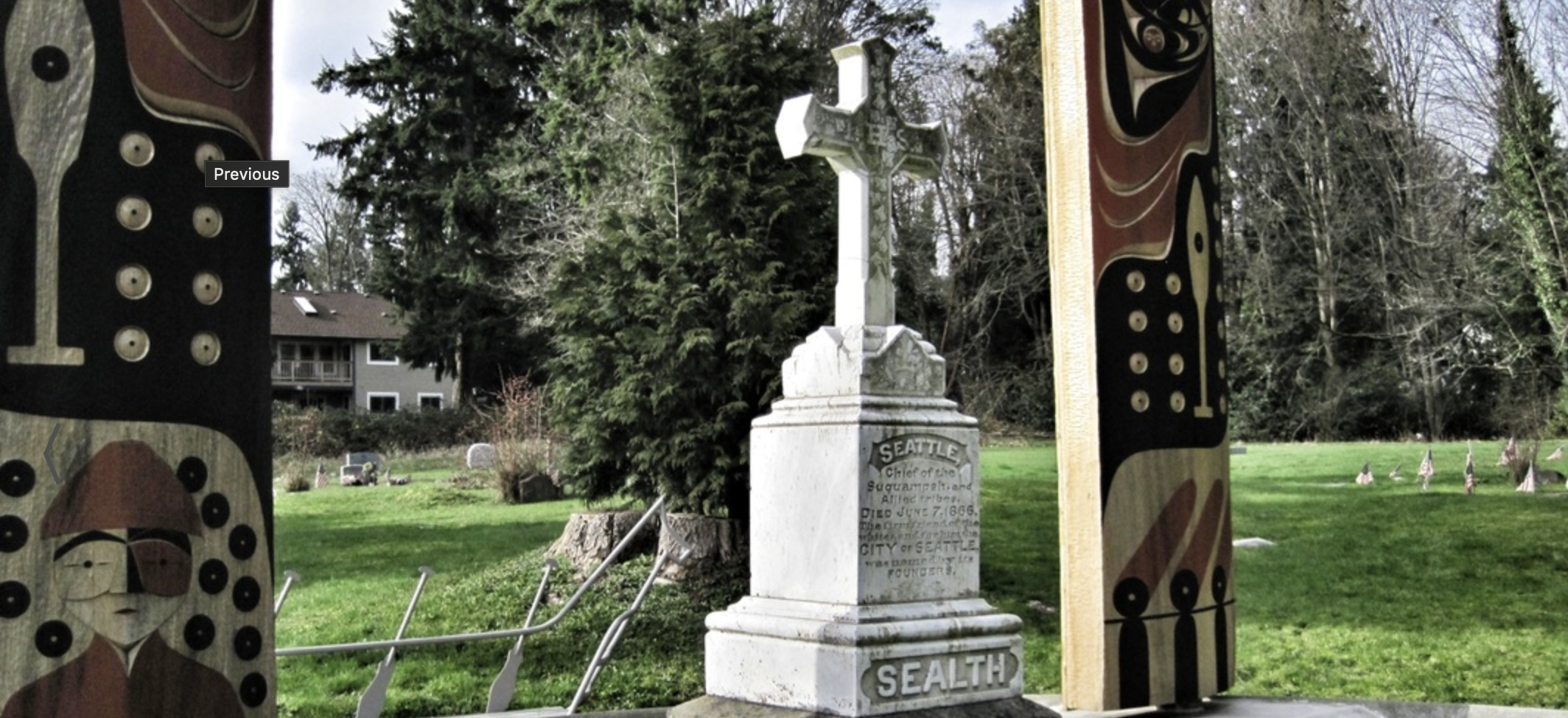
But here’s where the story takes a turn that these settlers probably didn’t deserve: Chief Sealth (anglicized as “Seattle”) of the Duwamish and Suquamish tribes didn’t just tolerate these interlopers—he actively helped them survive. Despite the settlers’ racism, despite their entitlement, despite their complete lack of respect for the land and its people, Chief Sealth extended grace and protection.

The settlers were struggling. They were unprepared, they were vulnerable, and they were in a land they didn’t understand. Chief Sealth could have let them fail. He could have driven them out. Instead, he chose a path of diplomacy and assistance, recognizing that conflict would only bring more suffering to his people. He negotiated treaties, provided food and knowledge, and essentially saved these settlers from their own incompetence.

It’s a story that should make us all uncomfortable. The man whose name would eventually grace the city was treated with less respect than he deserved, and the settlers who benefited from his generosity would go on to systematically displace and marginalize the very people who had saved them. The Duwamish people, despite Chief Sealth’s efforts, were pushed out of their ancestral lands, and to this day, the Duwamish Tribe remains federally unrecognized — a final insult in a long history of broken promises.

The Interurban: Seattle’s Early Growth Engine

Fast forward a few decades, and Seattle was starting to become something more than a frontier town. By the turn of the 20th century, the city was growing, but it was constrained by geography. The Puget Sound region is a weird place—mountains, water, and valleys creating natural barriers between communities. Everett to the north, Seattle in the middle, Tacoma to the south. These weren’t just separate cities; they were separated by geography that made connection difficult.

Enter the Interurban Railway. Starting in 1902, the Puget Sound Electric Railway began connecting these disparate communities. The line ran from Everett through Seattle and down to Tacoma—a 75-mile route that fundamentally changed how people lived and worked in the region.

This wasn’t just a train line; it was a growth mechanism. The Interurban made it possible for people to live in one city and work in another. It enabled the development of suburbs and satellite communities. It created economic corridors and allowed the region to function as a cohesive metropolitan area rather than isolated towns.

The Interurban ran through what would become some of the most important commercial and residential corridors in the region. Stations sprouted up along the route, and communities grew around them. The line carried commuters, freight, and mail. It was the backbone of regional development, and it ran on electricity cutting-edge technology for its time.

But here’s the thing about infrastructure: it requires maintenance, investment, and political will. By the 1930s, the automobile was becoming dominant, and the Interurban faced competition from highways and buses. The Great Depression hit, ridership declined, and the private companies running the service struggled. By 1939, the last Interurban train ran, and the tracks were torn up.

From Rails to Trails

The Interurban was gone, but the corridor it created remained. Over the decades, parts of the right-of-way were developed, but significant portions remained undeveloped. In the 1980s and 1990s, a movement began to convert these old rail corridors into trails—the Interurban Trail system.

Today, you can walk or bike along sections of the Interurban Trail, following roughly the same path that trains once traveled. It’s a nice amenity, but it’s also a reminder of what we lost. A trail is great for recreation, but it doesn’t move people at scale. It doesn’t enable the kind of regional connectivity that the Interurban once provided.

The Slow Return: Link 1 Line

Now, decades after the Interurban was torn up, we’re slowly rebuilding what we destroyed. Albeit not on the original route, but connecting the same core cities. Sound Transit’s Link 1 Line is gradually extending north and south, following many of the same corridors that the Interurban once served. It’s a slow process—agonizingly slow for those of us who understand what’s possible—but it’s happening.

The Link 1 Line connects Everett to Seattle to Tacoma, just like the Interurban did over a century ago. It’s electric, just like the Interurban was. It’s serving the same function: enabling regional connectivity and acting as a growth mechanism for the area.

But here’s the difference: we’re spending billions of dollars and decades of time to rebuild something we already had. We’re learning lessons that were already learned a hundred years ago. We’re rediscovering that transit enables growth, that regional connectivity matters, and that electric rail can transform how a metropolitan area functions.

It’s progress, but it’s also a reminder of how short-sighted we can be. We tore up a regional rail system that was working, replaced it with highways and sprawl, and now we’re slowly piecing it back together at enormous cost.

The Legacy

Seattle’s story is one of contradictions. A city named after a chief who saved settlers who didn’t deserve his grace. A region that built world-class transit infrastructure, tore it up, and is now slowly rebuilding it. A place that understands the value of regional connectivity but took nearly a century to act on that understanding.

The Interurban was more than a train line — it was a growth mechanism that shaped the Puget Sound region. Its removal shaped the region too, just in ways we’re still dealing with: sprawl, traffic, and disconnected communities. The Link 1 Line is the slow, expensive correction to that mistake.

As we watch the Link 1 Line extend mile by mile, station by station, the city and people are not just building transit — we’re rediscovering what Chief Sealth and the Interurban already knew: that connection matters, that regional cooperation enables growth, and that sometimes the best path forward is to learn from the past, even when that past includes uncomfortable truths about who we are and how we got here.

Now, the story of the Chief and this line might not seem connected right now, but I wanted to detail these two topics as I’ll be referencing back to them in the coming days with a number of posts. Be sure to subscribe and you’ll get to read about the interconnected nature of it all!

Part 2: Pavement and Isolation – How the Car Killed Community

Welcome to Part 2 of this series where I continue unpacking how the U.S. systematically dismantled social connection in the name of “progress.” Last time, I wrote about how third places are disappearing. This time, I’m dragging the main culprit into the light: the car.

Yeah. That big metal box in your driveway? It’s not just polluting the air and draining your wallet—it’s actively devouring public space and community life.

How Cars Obliterated Third Places

Let’s be clear: the problem isn’t cars exist. The problem is how everything else was restructured around them, leaving zero room for anything human-scale. Starting in the mid-20th century, we redesigned American life for traffic flow, not people.

Here’s what that did:

  • Neighborhoods got zoned into silos—residential over here, retail over there, work way over there.
  • Public plazas, local markets, and informal hangout zones got paved over for parking lots.
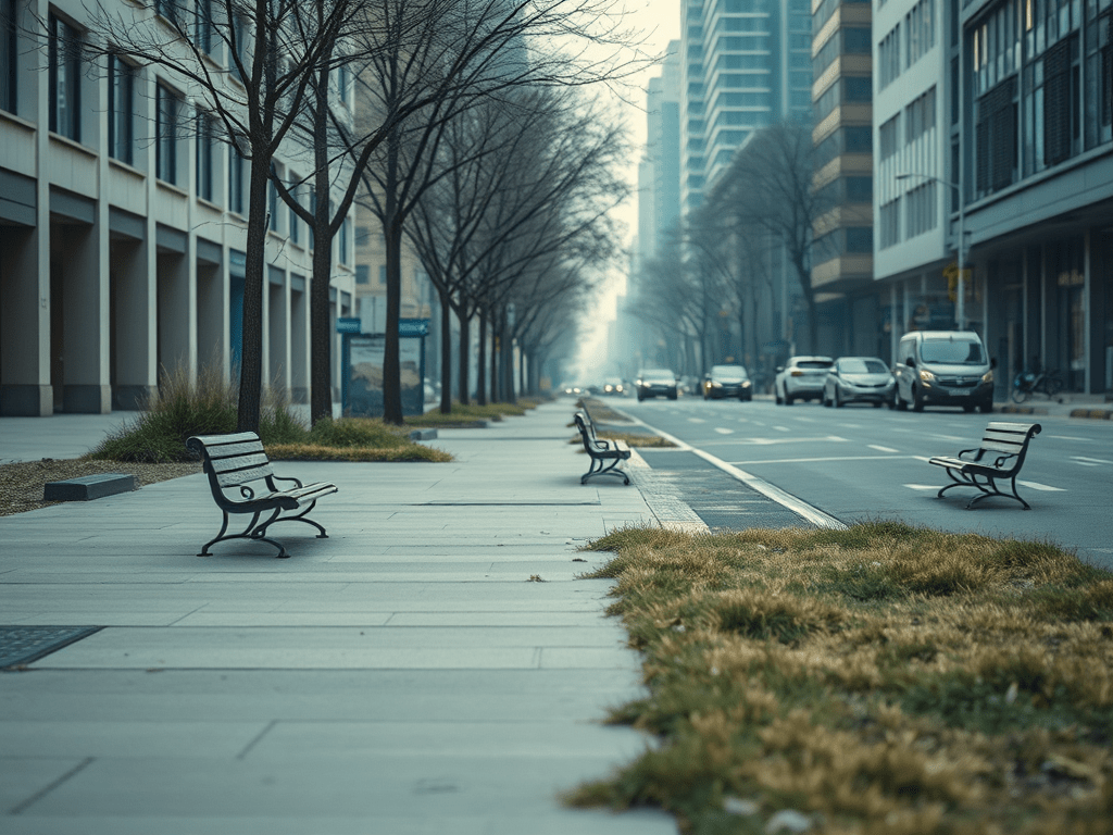
  • Sidewalks were shrunk, ignored, or removed entirely. Because who walks anymore, right?
  • New “town centers” became drive-to destinations with no soul and no real public use space.

This made third places—those informal community spaces—impractical, unprofitable, and in many places, literally illegal to build.

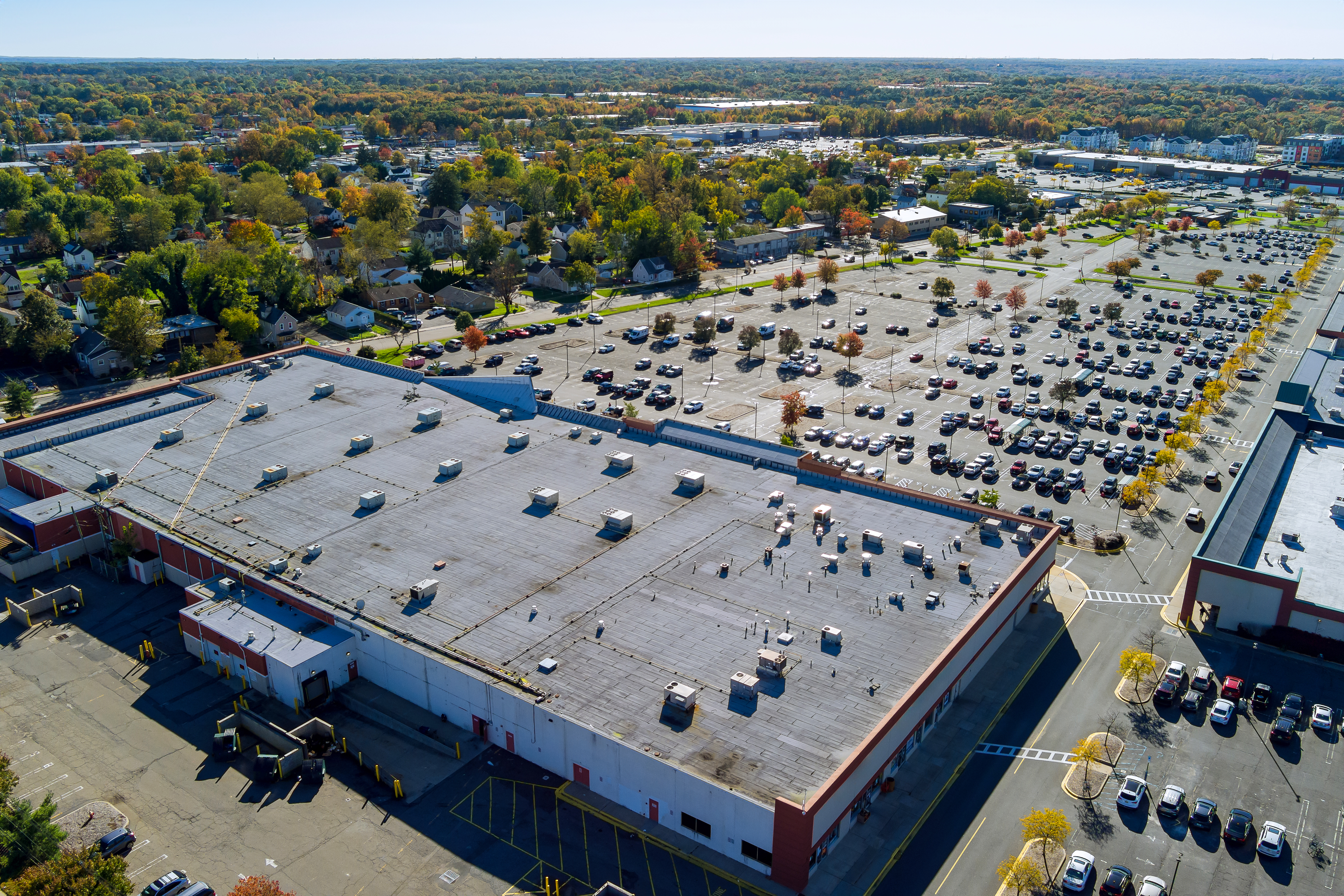
Big parking with cars near the shopping mall center in New Jersey USA

Parklets: A Glimmer of Hope (That Mostly Got Crushed)

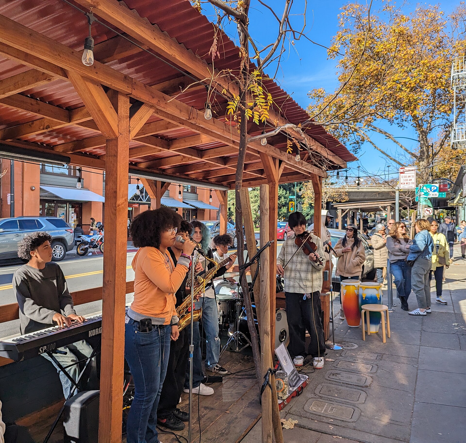
In the early 2010s—and then again during the pandemic—we saw something weird: parklets started popping up. Cities let restaurants and businesses convert curbside parking into mini patios and gathering spaces. They were scrappy, hopeful, often built with plywood and planters.

And for a moment? They worked.

People lingered. They talked to strangers. They treated streets like places to be, not just pass through.

Then the tide turned:

  • Restaurant leases ended, and the parklets vanished.
  • Cities caved to complaints from drivers about “lost” parking.
  • Insurance policies and red tape choked the small businesses trying to keep them alive.

And just like that, most parklets faded back into asphalt.

Part 1: Disconnected by Design – The Death of the Third Place

> “A third place is a space that isn’t home (the first place) or work (the second place). It’s where people go to just exist together.”
> — Ray Oldenburg (Paraphrased and adapted for modern reality)

Let’s get something straight up front. Third places are disappearing (or already disappeared) in America. And no, we’re not talking about some twee idea of a cafe with succulents and overpriced drip coffee. We’re talking about foundational infrastructure—the places that once held the social fabric together.

We’ve designed them out of our neighborhoods, priced them out of our cities, and paved over them in the name of “development.” What’s replaced them? Nothing of substance. Just parking lots, chain retail, and algorithmic dopamine feeds that masquerade as community.


What Is a Third Place (And Why It Matters)

A third place is simple in concept: a social setting where people gather that isn’t home or work. Think:

  • Libraries (Please stop closing them, just figure out how to make em’ work, because they will!)
  • Coffee shops (actual community hubs, not Starbucks outlets)
  • Bookstores with comfy chairs
  • Park benches with regulars
  • Local bars, barber shops, bike co-ops
  • Public plazas, community centers, corner bodegas where people linger

These places foster unplanned conversation, spontaneous collaboration, and yes—real, human connection. They offer a counterbalance to the transactional nature of modern life.

And in the U.S.? We’ve systematically eliminated them.

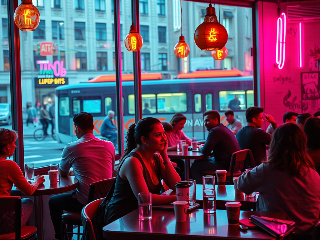
Business freelance team chatting during coffee break in office. Creative multiethnic colleagues engaged in teamwork at coworking open space

From Common Ground to Commercialized Nowhere

If you’re in a suburb, odds are your nearest third place is at least a 10-minute drive away—and no, a drive-thru Starbucks doesn’t count.

Urban planning over the last 50 years has systematically pushed out the informal, low-cost, and unbranded spaces in favor of traffic flow, parking capacity, and revenue-per-square-foot. The result?

  • Communities where there is no place to gather without spending money
  • Spaces that feel sterile, overly regulated, or outright exclusionary
  • Entire generations growing up with no idea what a third place even is
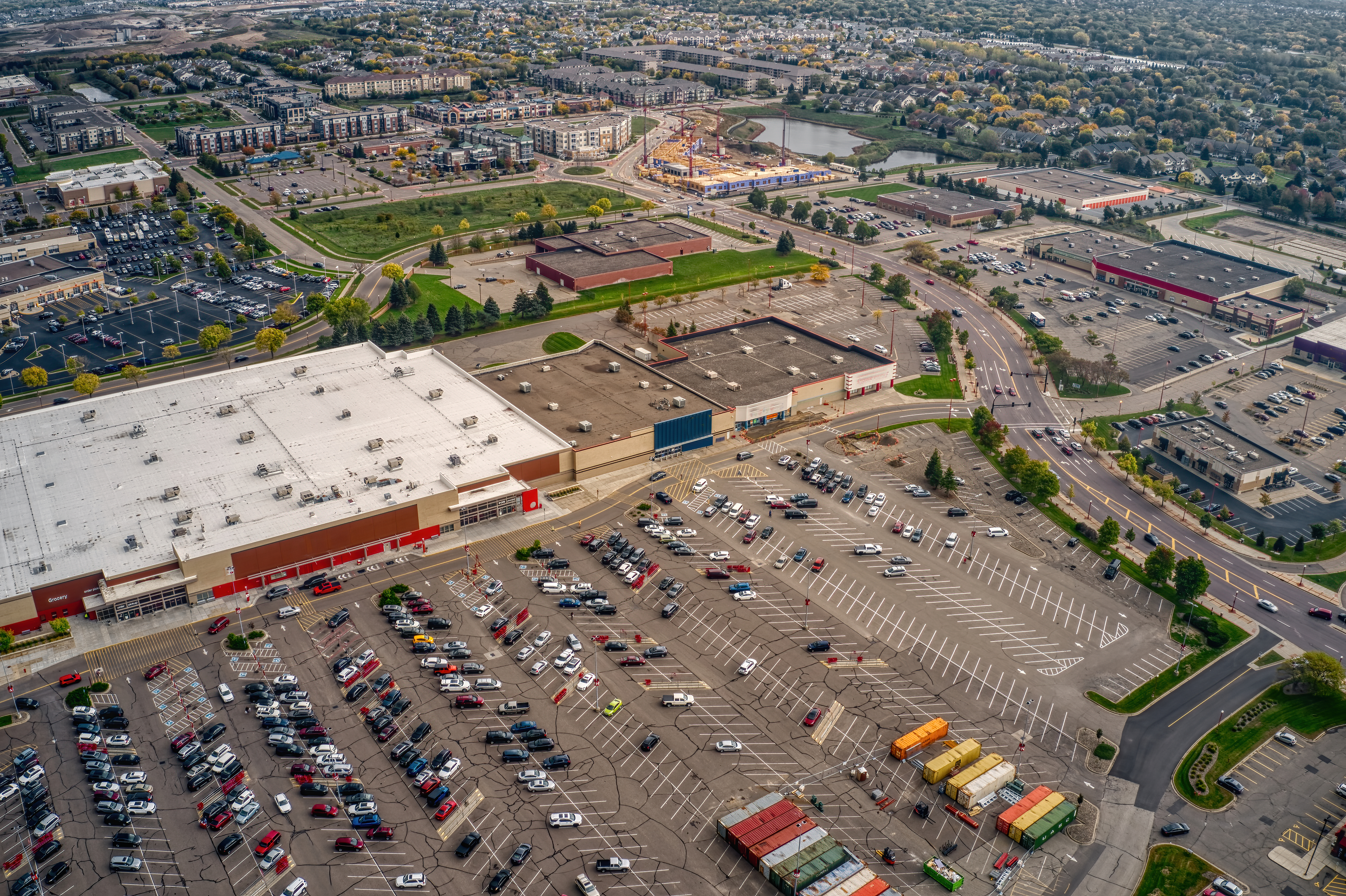
An aerial view of the Twin Cities Outer Suburb of Apple Valley, Minnesota

The Great Digital Substitution (That Isn’t)

Somewhere along the way, we convinced ourselves that social media was a good enough replacement. That Discord servers could be the new pub. That Reddit threads replaced roundtables. That Instagram comment sections were valid forms of shared experience.

No.

Those are digital holding pens designed to manipulate your attention, not give you context, warmth, or presence. You can’t replace a knowing glance or a random conversation with a stream of hot takes and emojis.

They mimic connection. But they don’t create it.

Case Study: Third Place Commons – Holding the Line

Located in Lake Forest Park, Washington, Third Place Commons is one of the few community anchors that still embodies what a third place should be.

  • It’s open to everyone.
  • It hosts events like chess nights, concerts, and civic forums.
  • It’s tied into a bookstore (shoutout to Third Place Books).
  • It isn’t flashy, and that’s the point.

When You Erase the Third Place…

…you erase empathy. You erase frictionless socializing. You erase the chance to bump into people outside of work and curated social events. You erase the “Hey, good to see you again” rhythm that holds communities together.

You replace it with:

  • Loneliness
  • Economic stagnation
  • Fragmented civic life
  • Performative connection

And then we act shocked when people are burnt out, disconnected, and angry.

Next Up: The Car That Ate Your Community

In Part 2, I’ll get into how the automobile didn’t just kill walkability—it nuked third places out of existence. We’ll talk about the rise and quiet death of parklets, the shrinking of civic spaces, and how cities like Portland tried (and often failed) to fight the tide with bike co-ops and transit stations.

If this series hits a nerve, good. It’s supposed to.

You can’t rebuild what you don’t even realize is missing.

The Chaos & Madness of Forgetting One’s Keys

I have a rather interesting commute these days. It consists of four parts for the time being.

  1. Departure from home and arrival at the Redmond Link Station via e-bike.
  2. Departure with Spacey (this bike) from the Redmond Link Station to South Bellevue Station.
  3. Departure from South Bellevue Station via the Sound Transit Express 550 bus.
  4. Then via bicycle to the little coffee shop (i.e. Starbucks HQ) in Seattle’s SODO.

Today I departed from home and traversed all of the parts of my commute until arrival at South Bellevue Station. I then realized I had forgotten my keys at home. The keys I use to lock my bike via u-lock at the coffee shop. No keys no lock, so that wouldn’t do.

So a good 1/2rds of the way into the city I made the u-turn to head back to get my u-lock keys. Back to the Redmond Link Station, I parked Spacey, and then took the e-bike back up the hill to home. I got my keys and headed back out again.

An Aside: Naming Chaos Among Key Chaos

Alright, let’s detail this topic for a moment. What the hell is wrong with Seattle and naming things. Before Redmond Technology Station became “Redmond Technology Center”, it was called Overlake Transit Center. They renamed it and the next station, which is still just touching Microsoft Campus, is called Overlake Village Station. No confusion to be had for anybody that has been in the area for more than a few years, no none at all.

Amidst that ridiculousness Marymoor Park Station is only tangentially connected to Marymoor Park. To get anywhere where people congregate in the park you’ve got to walk between 3-20 minutes to get there. Then there is the Symphony Station, once the University Station but not connected to the University District and confusing to folks about what University, if any, it connected to. Because the nearest was many blocks away. But I digress.

I could go on and on about this and the locations, because it is clear there were powers that worked diligently against the light rail to make it less than useful. However in spite of these assholes and short-sighted fools, it’s already immensely useful even with the stop locations.

Back to Key Chaos

Now that I had back tracked to get my keys, I was at least an hour behind my expected arrival at the office. In addition, a meeting was coming up that I wouldn’t make unless I only traversed part of my trip and stopped to have the meeting. I had done this before, where I would go part of the way, then stop at a coffee shop or somewhere that wifi exists to attend a meeting. Then I would continue onward.

Today I decided to stop at the Dote Coffee Shop at Redmond Technology Station. It seemed like a perfect, down to the minute, timing to get part of the way into the commute and also attend the meeting.

A Note on Dote @ Redmond Technology Station

The Dote located at the Redmond Technology Station (here) is a pretty cool location. It is however kind of a stand alone very transit station specific location. All of the other amenities that Softies (That’s what Microsoft employees are called, I kid you not) enjoy such as their walkable urban area is up the street a few blocks and not entirely evident – or that accessible without a little mischievousness or having a blue or orange badge. So this is the publicly accessible option in the area, and it’s pretty great.

However, even though it is a private business not particular part of Microsoft, this location is forced to use the Microsoft wifi. This has always been a bit of an odd logistical lift for Microsoft. The reason being is that Microsoft treats all of the businesses and amenities in the area – even when they are on public property and owned by the local city and public – as if it is their own owned amenities. It’s a weird relationship to say the least.

Amidst all that, I managed to arrive at the station in time to get into the shop in time for the meeting and a drink.

The Last Leg, Broken

Finally, my meetings wrapped up and I began the last leg to get into the office. I walked out of the store, unlocked my bike and progressed toward the Link tracks to board a south bound train. I arrived, saw a train sitting there and noticed it wasn’t moving. After a minute or so I gave up and headed over to the south bound 40th St stop to board – hopefully – the Sound Transit Express 542.

I opted for the 542 (direct to University District) instead of the 545 (the more direct shot into the city) because I could ride it for a short haul into U-District and then board the Link Light Rail through downtown to SODO. They key difference here is I could work on the Link vs. not so easy on the bumpy buses.

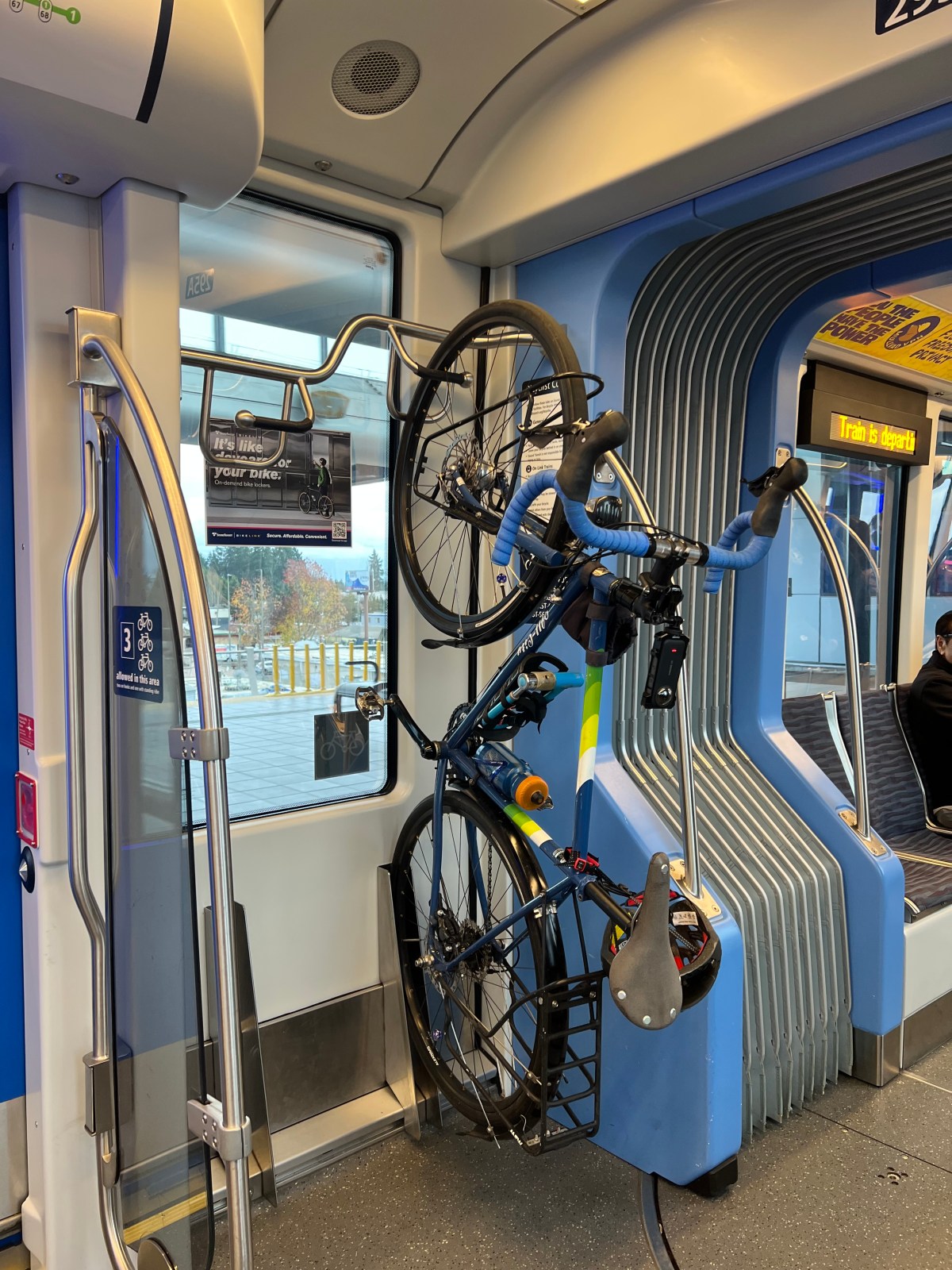
I locked out and as I rode my bike up over the highway pedestrian and bike bridge to the other side to board the south bound buses, I only had 4 minutes until the 542 arrived. It pulled in, I racked my bike, and off we went. Upon arriving at U-District I took the elevator down and onto the 1-Line Link Train south through the city. I was able to rack my bike and get a seat, working through the remainder of the trip.

So that was my rather chaotic commute today, one for the books of misadventures in getting the logistics wrong over forgotten keys. Until next trip, cheers!